|
National Elevation Dataset (NED)
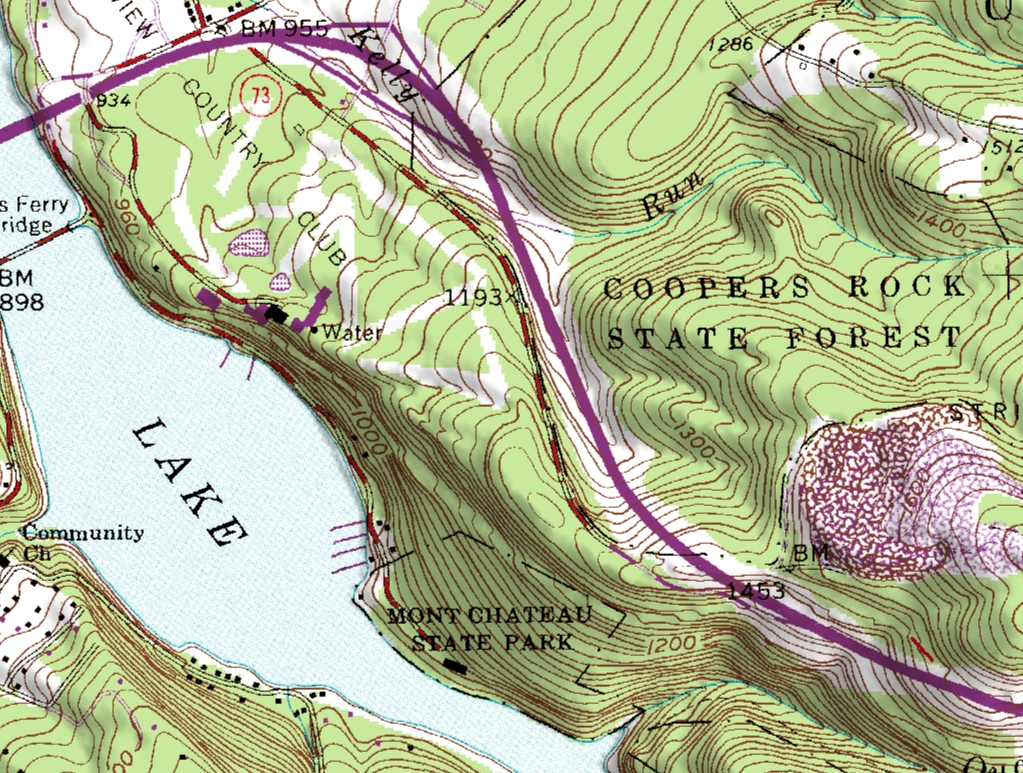
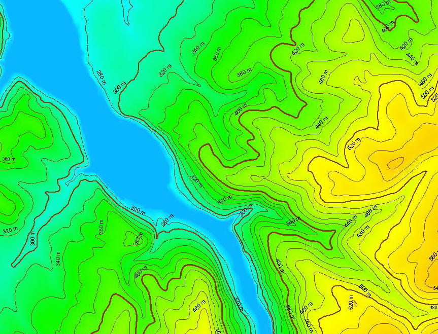
The National Elevation Dataset (NED) is a new raster product
assembled by the U.S. Geological Survey (USGS). NED is designed
to provide National elevation data in a seamless form with a
consistent datum, elevation unit, and projection. Data
corrections were made in the NED assembly process to minimize
artifacts, perform edge matching, and fill sliver areas of
missing data. NED has a resolution of one arc-second
(approximately 30 meters) for the conterminous United States,
Hawaii, and Puerto Rico and a resolution of two arc-seconds for
Alaska.
NED data sources have a variety of elevation units,
horizontal datums, and map projections. In the NED assembly
process the elevation values are converted to decimal meters as
a consistent unit of measure, NAD83 is consistently used as
horizontal datum, and all the data are recast in a geographic
projection. Older DEM's produced by methods that are now
obsolete have been filtered during the NED assembly process to
minimize artifacts that are commonly found in data produced by
these methods. Artifact removal greatly improves the quality of
the slope, shaded-relief, and synthetic drainage information
that can be derived from the elevation data. NED processing also
includes steps to adjust values where adjacent DEM's do not
match well, and to fill sliver areas of missing data between
DEM's. These processing steps ensure that NED has no void areas
and artificial discontinuities have been minimized.
|