|
|
Featured Products |
|

Click on image for more information |
|
Search our Site |
|
|
|
 |
|
|
|
|
|
|
|
GeoMart
516 Villanova Court
Ft Collins, CO 80525
800-248-6277
800-321-6277 Fax |
| |
| National Park
Mapping Software
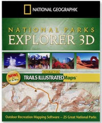
National Parks Explorer 3D Coverage of 25 national parks
Southern Appalachian Mountains Explorer 3D Southern
North Carolina to Northern Virginia
Adirondack Park Explorer 3D
Big Bend National Park Explorer 3D
Glacier & Waterton Lakes National Parks Explorer 3D
Rocky Mountain National Park Explorer 3D
Yellowstone National Park Explorer 3D
Yosemite National Park Explorer 3D
Zion National Park Explorer 3D
|
|
National Geographic National Parks
Explorer 3D Mapping Software
top |
|
Explore 25 of our most popular national
parks with National Parks Explorer 3D. We've combined the
functionality and ease-of-use of our TOPO! software with the
accuracy, added information, and beauty of our Trails
Illustrated maps to give you the best of both worlds.
National Parks Explorer 3D is perfect for planning your next
trip, making and printing your own custom maps, and creating
trip itineraries using the handy park guides.
National Geographic has been helping travelers explore our
national parks for more than a century - let us help you
plan your next park adventure with National Parks Explorer
3D.
- Printable park information and more
- Four Map Levels
- Trail Auto Trace - Automatically snap to available
trails or draw your own
- Trail Profile - Distance, gain and loss for your
trail
- 3D fly through
- 360 Degree Views - View your trail from any angle
- GPS Compatibility - Generate waypoints and send them
to your GPS
System
Requirements
Windows
95, 98, NT, ME,
2000, or XP
486 DX/66 MHz PC
or Higher
64 MB RAM + 8 MB
video memory
Macintosh
OS 10.2 or higher
350 MHz G3 or
better
128 MB RAM + 16
MB video memory
Included Parks
|
Acadia, ME
Arches, UT
Big Bend, TX
Bryce Canyon, UT
Canyonlands, UT, Needles and Island in the Sky
districts
Channel Islands, CA
Death Valley, CA
Glacier/Waterton, MT & Alberta
Grand Canyon, AZ
Grand Teton, WY
Great Smokey Mountains, NC & TN
|
Isle Royale, MI
Joshua Tree, CA
Kings Canyon, CA
Mt. Rainier, WA
North Cascades, WA
Olympic, WA
Redwood, CA
Rocky Mountain, CO
Sequoia, CA
Shenandoah, VA
Theodore Roosevelt, ND
Yellowstone, WY & MT
Yosemite, CA
Zion, UT
|
|
|
|
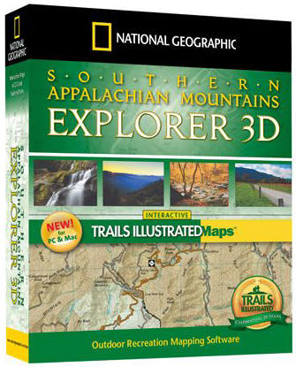
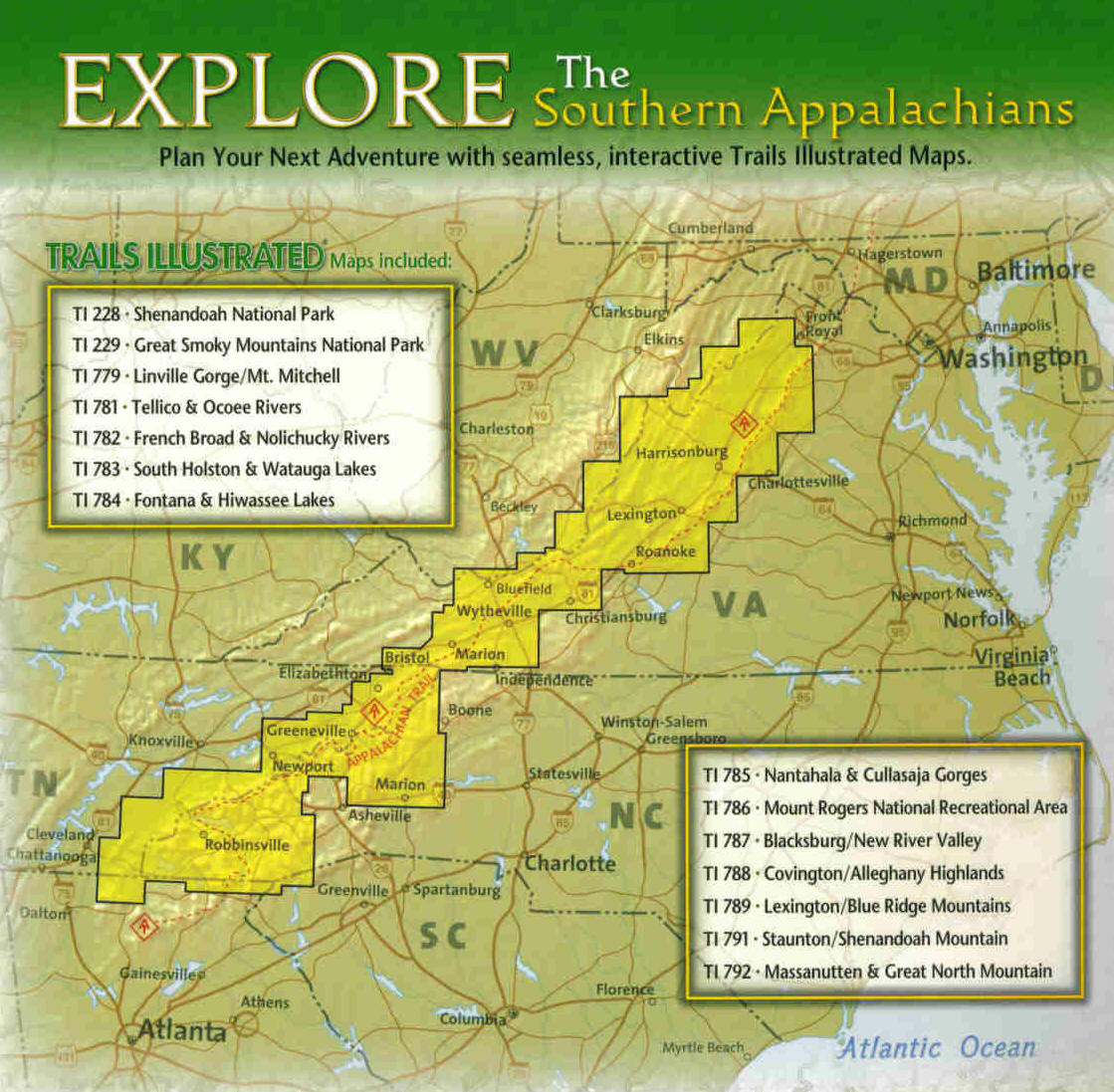
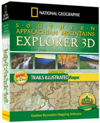
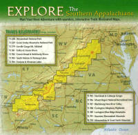
Southern Appalachian Mountains
Explorer 3D
top |
Click for coverage map
 |
Explore the beauty and majesty of the
Southern Appalachian Mountains with our new outdoor
recreation mapping software that gives you the best of both
worlds. Southern Appalachian Mountains Explorer 3D combines
the functionality and ease-of-use of our TOPO! outdoor
recreation software with the accuracy, added information,
and beauty of our Trails Illustrated maps to create a
new-generation, hybrid software that gives you the best of
both worlds.
Southern Appalachian Mountains Explorer 3D combines 14
Trails Illustrated maps, all in our new-generation hybrid
software to help you plan and print spectacular maps for
your next adventure to this stunning region.
Visualize your hikes with one-click trail profiles. Fly your
trail in 3D to see the lay of the land. Automatically
generate GPS waypoints and upload them to your GPS. Make
beautiful custom printed maps that give you the confidence
to go out and discover.
Trails Illustrated Explorer 3D is designed to make it easy
to plan your adventure, and to print beautiful maps for your
trip. Four map levels, area guides, easy-to-use software,
and extraordinary maps help you create itineraries that will
make your excursion special. |
|
|
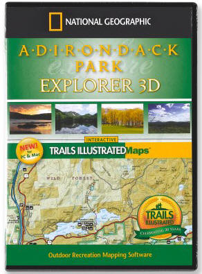
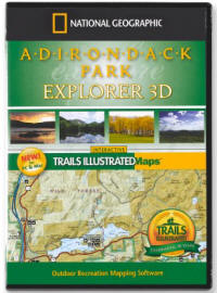
Adirondack Park Explorer 3D
top |
|
Plan and print your next adventure to New
York's beautiful and diverse Adirondack State Park. National
Geographic has combined the functionality and ease-of-use of
our TOPO! software with the accuracy, added information, and
beauty of five Trails Illustrated maps covering all 5.8
million acres of The Adirondack State Park.
Adirondack State Park Explorer 3D enables you to
automatically highlight trails, view the maps in 3D, use the
maps with your GPS, and print beautiful custom maps for your
next outing. Four map levels make it easy for you to find
your destination, and to create and print beautiful,
detailed maps for your adventure. Visualize your hikes with
one-click trail profiles. Fly your trail in 3D to see the
lay of the land. Automatically generate GPS waypoints and
upload them to your GPS. Make beautiful custom printed maps
that give you the confidence to go out and discover.
Trails Illustrated Explorer 3D is designed to make it easy
to plan your adventure, and to print beautiful maps for your
trip. Four map levels, area guides, easy-to-use software,
and extraordinary maps help you create itineraries that will
make your excursion special. |
|
|
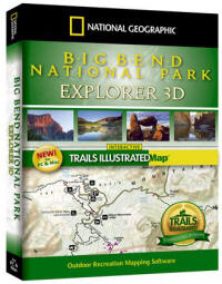
Big Bend National Park Explorer 3D
top |
|
The ideal software for planning your U.S.
National Park adventures, Explorer 3D combines the precision
and accuracy of the printed Trails Illustrated topographic
maps with the award-winning TOPO! custom mapping technology.
The easy-to-use interface helps you quickly locate trails,
create instant elevation profiles, plan routes, and print
your own custom maps with trail, trailhead, campsite,
hiking, safety, and trip-planning information.
System
Requirements
Windows
95, 98, NT, ME,
2000, or XP
486 DX/66 MHz PC
or Higher
64 MB RAM + 8 MB
video memory
Macintosh
OS 10.2 or higher
350 MHz G3 or
better
128 MB RAM + 16
MB video memory
|
|
|
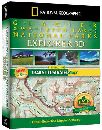
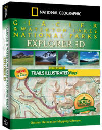
Glacier & Waterton Lakes National
Parks Explorer 3D
top |
|
The ideal software for planning your U.S.
National Park adventures, Explorer 3D combines the precision
and accuracy of the printed Trails Illustrated topographic
maps with the award-winning TOPO! custom mapping technology.
The easy-to-use interface helps you quickly locate trails,
create instant elevation profiles, plan routes, and print
your own custom maps with trail, trailhead, campsite,
hiking, safety, and trip-planning information.
System
Requirements
Windows
95, 98, NT, ME,
2000, or XP
486 DX/66 MHz PC
or Higher
64 MB RAM + 8 MB
video memory
Macintosh
OS 10.2 or higher
350 MHz G3 or
better
128 MB RAM + 16
MB video memory
|
|
|
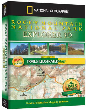
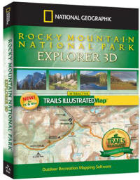
Rocky Mountain National Park
Explorer 3D
top |
|
The ideal software for planning your U.S.
National Park adventures, Explorer 3D combines the precision
and accuracy of the printed Trails Illustrated topographic
maps with the award-winning TOPO! custom mapping technology.
The easy-to-use interface helps you quickly locate trails,
create instant elevation profiles, plan routes, and print
your own custom maps with trail, trailhead, campsite,
hiking, safety, and trip-planning information.
System
Requirements
Windows
95, 98, NT, ME,
2000, or XP
486 DX/66 MHz PC
or Higher
64 MB RAM + 8 MB
video memory
Macintosh
OS 10.2 or higher
350 MHz G3 or
better
128 MB RAM + 16
MB video memory
|
|
|
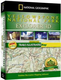
Yellowstone National Park Explorer
3D top |
|
The ideal software for planning your U.S.
National Park adventures, Explorer 3D combines the precision
and accuracy of the printed Trails Illustrated topographic
maps with the award-winning TOPO! custom mapping technology.
The easy-to-use interface helps you quickly locate trails,
create instant elevation profiles, plan routes, and print
your own custom maps with trail, trailhead, campsite,
hiking, safety, and trip-planning information.
System
Requirements
Windows
95, 98, NT, ME,
2000, or XP
486 DX/66 MHz PC
or Higher
64 MB RAM + 8 MB
video memory
Macintosh
OS 10.2 or higher
350 MHz G3 or
better
128 MB RAM + 16
MB video memory
|
|
|
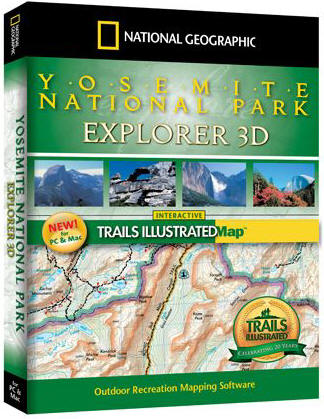
Yosemite National Park Explorer 3D
top |

|
The ideal software for planning your U.S.
National Park adventures, Explorer 3D combines the precision
and accuracy of the printed Trails Illustrated topographic
maps with the award-winning TOPO! custom mapping technology.
The easy-to-use interface helps you quickly locate trails,
create instant elevation profiles, plan routes, and print
your own custom maps with trail, trailhead, campsite,
hiking, safety, and trip-planning information.
System
Requirements
Windows
95, 98, NT, ME,
2000, or XP
486 DX/66 MHz PC
or Higher
64 MB RAM + 8 MB
video memory
Macintosh
OS 10.2 or higher
350 MHz G3 or
better
128 MB RAM + 16
MB video memory
|
|
|
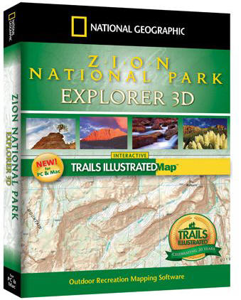
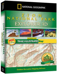
Zion National Park Explorer 3D
top |
|
The ideal software for planning your U.S.
National Park adventures, Explorer 3D combines the precision
and accuracy of the printed Trails Illustrated topographic
maps with the award-winning TOPO! custom mapping technology.
The easy-to-use interface helps you quickly locate trails,
create instant elevation profiles, plan routes, and print
your own custom maps with trail, trailhead, campsite,
hiking, safety, and trip-planning information.
System
Requirements
Windows
95, 98, NT, ME,
2000, or XP
486 DX/66 MHz PC
or Higher
64 MB RAM + 8 MB
video memory
Macintosh
OS 10.2 or higher
350 MHz G3 or
better
128 MB RAM + 16
MB video memory
|
|
|
|
|