| |
|
|
|
| Since 1970 Kingfisher
has been producing lake map products for boating,
fishing and recreation on many of America's hottest
lakes. These lake maps are Waterproof and Tear
Resistant. The lake maps feature information such
as access areas, facilities, water hazards, and more.
Most of the lake maps show contour information so that
you can track down the fish and avoid obstacles. |
| |
|
|
|
|
Alabama -
Arizona - Florida -
Georgia - Kentucky -
North Carolina -
Oklahoma -
South Carolina -
Tennessee - Texas -
Virginia |
| |
|
|
|
|
ALABAMA
top |
|
|
 |
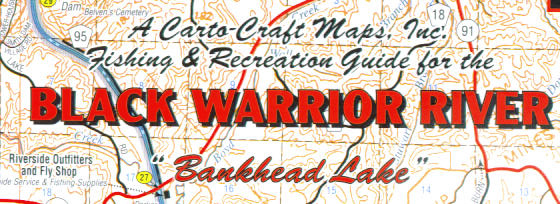
Black Warrior River, AL
-- KF123cc
Black Warrior River "Bankhead Lake" from Bankhead Lock &
Dam to Smith Lake. 25"x38". Two-sided. Waterproof and
Tear Resistant! more info |
$9.95 |
 |
| |
|
|
|
|
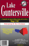 |
Guntersville, AL
-- KF102
Topographic map for fishing, boating and recreation. 23
x 35 Two-sided with GPS coordinates |
$9.95 |
|
|
|
|
|
|
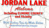 |
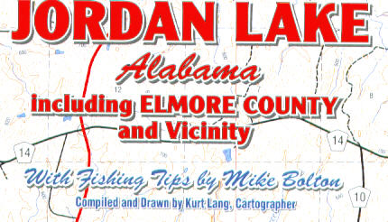
Jordan, AL --
KF101cc
Topographic map for fishing, boating and recreation.
Two-sided |
$9.95 |
|
| |
|
|
|
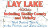 |
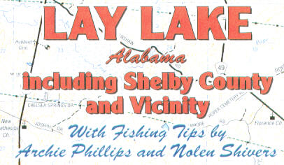
Lay, AL -- KF100cc
Topographic map for fishing, boating and recreation.
Two-sided |
$9.95 |
|
| |
|
|
|
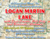 |
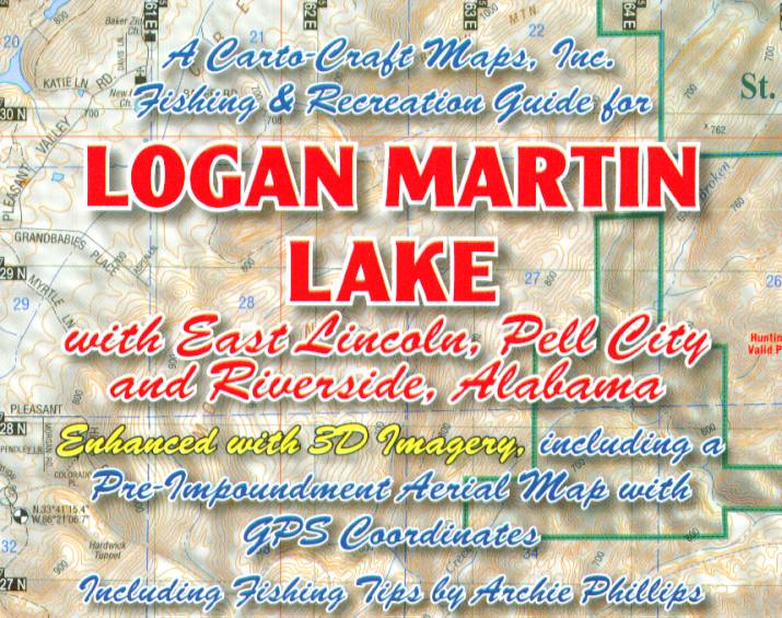
Logan Martin, AL
-- KF118cc
Topographic map for fishing, boating and recreation.
Two-sided with GPS coordinates |
$9.95 |
|
| |
|
|
|
 |
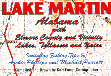
Martin, AL --
KF115cc
Topographic map for fishing, boating and recreation. 23
x 35 One-sided with GPS coordinates |
$9.95 |
|
| |
|
|
|
 |
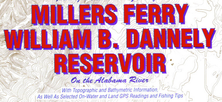
Millers Ferry, AL
-- KF103cc
Topographic map for fishing, boating and recreation.
Two-sided with GPS coordinates |
$9.95 |
|
|
|
|
|
|
 |
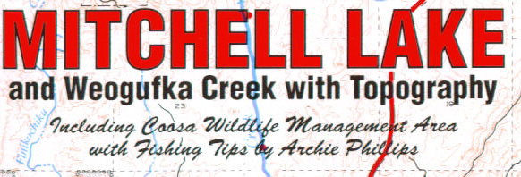
Mitchell, AL
-- KF105cc
Topographic map for fishing, boating and recreation.
Two-sided with GPS coordinates |
$9.95 |
|
| |
|
|
|
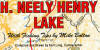 |
Neely Henry, AL
-- KF114cc
Out Of Stock
Topographic map for fishing, boating and recreation.
Two-sided |
$9.95 |
|
| |
|
|
|
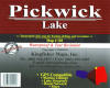 |
Pickwick, AL
-- KF110
Topographic map for fishing, boating and recreation. 23
x 35 Two-sided with GPS coordinates |
$9.95 |
|
| |
|
|
|
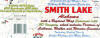 |
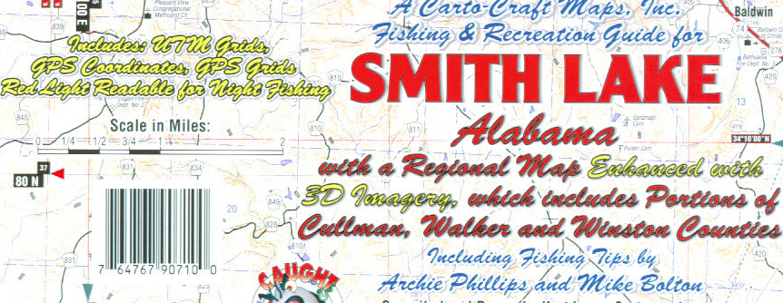
Smith, AL --
KF107cc
Topographic map for fishing, boating and recreation.
Two-sided |
$9.95 |
|
| |
|
|
|
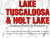 |
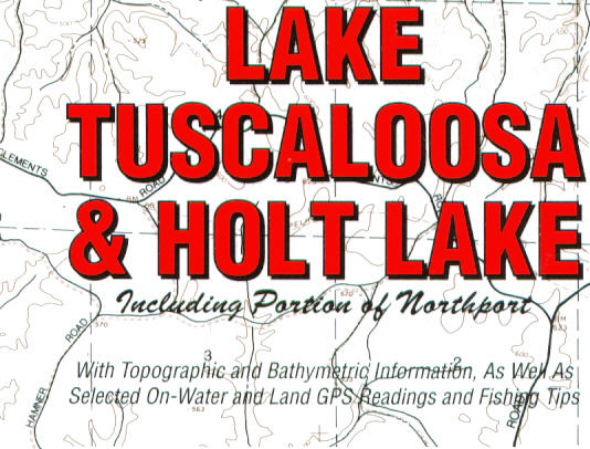
Tuscaloosa Holt,
AL -- KF111cc
Out Of Stock
Topographic map for fishing, boating and recreation.
Two-sided |
$9.95 |
|
| |
|
|
|
 |
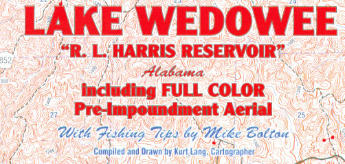
Wedowee Harris, AL
-- KF113cc
Topographic map for fishing, boating and recreation.
Two-sided |
$9.95 |
|
| |
|
|
|
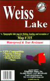 |
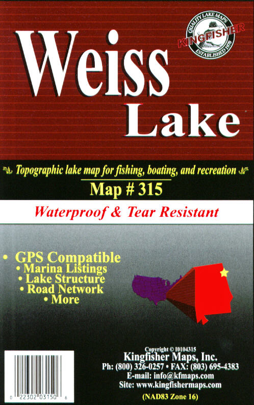
Weiss, AL --
KF315
Topographic map for fishing, boating and recreation. 25
x 38 One-sided with GPS coordinates |
$9.95 |
|
| |
|
|
|
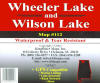 |
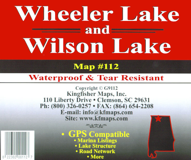
Wheeler Wilson, AL
-- KF112
Topographic map for fishing, boating and recreation. 23
x 35 Two sided with GPS coordinates |
$9.95 |
|
| |
|
|
|
| |
|
|
|
|
ARIZONA
top |
|
|
| |
|
|
|
 |
Powell Northeast,
AZ -- KF8010
Topographic map for fishing, boating and recreation. 23
x 35 Two-sided with GPS coordinates |
$9.95 |
|
| |
|
|
|
|
FLORIDA
top |
|
|
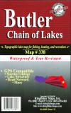 |
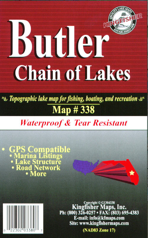
Butler Chain, FL
-- KF338
Topographic map for fishing, boating and recreation. 25
x 38 One-sided with GPS coordinates |
$9.95 |
|
| |
|
|
|
|
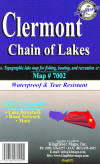 |
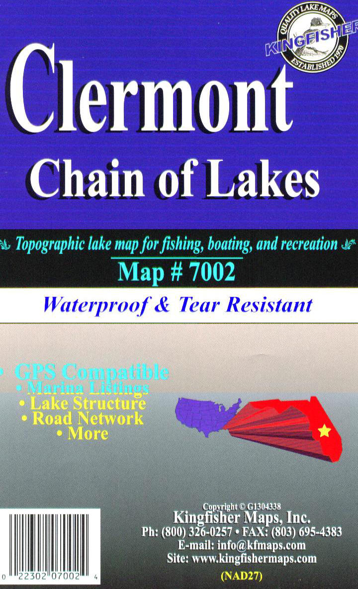
Clermont Chain, FL
-- KF7002
Topographic map for fishing, boating and recreation. 23
x 35 One-sided with GPS coordinates |
$9.95 |
|
| |
|
|
|
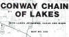 |
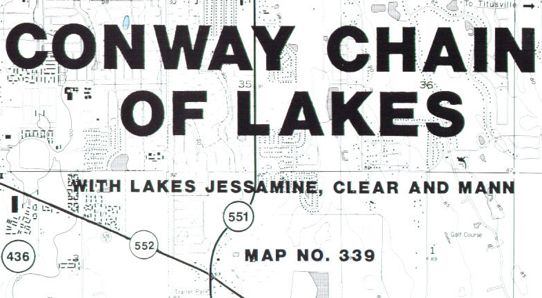
Conway Chain, FL
-- KF339
Topographic map for fishing, boating and recreation. 25
x 38 One-sided |
$9.95 |
|
| |
|
|
|
 |
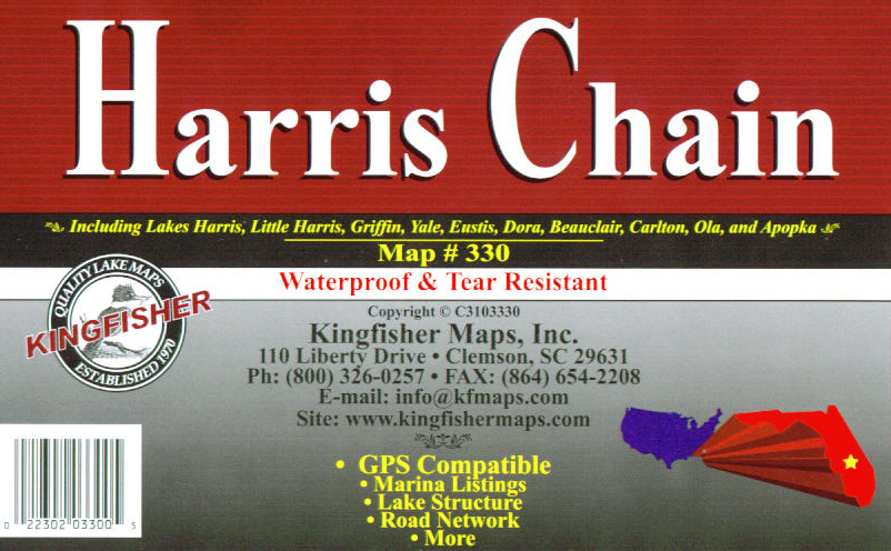
Harris Chain, FL
-- KF330
Topographic map for fishing, boating and recreation. 25
x 38 One-sided with GPS coordinates |
$9.95 |
|
| |
|
|
|
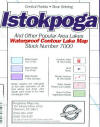 |
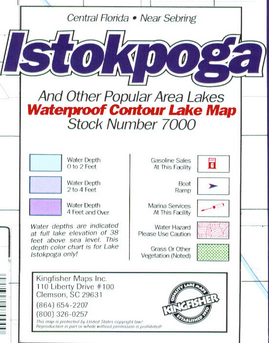
Istokpoga, FL
-- KF7000
Topographic map for fishing, boating and recreation. 23
x 35 Two-sided with GPS coordinates |
$9.95 |
|
| |
|
|
|
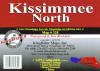 |
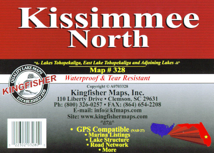
Kissimmee Chain
North, FL -- KF328
Topographic map for fishing, boating and recreation. 25
x 38 One-sided with GPS coordinates |
$9.95 |
|
| |
|
|
|
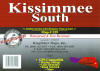 |
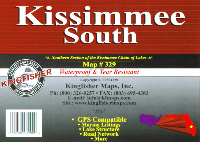
Kissimmee Chain
South, FL -- KF329
Topographic map for fishing, boating and recreation. 25
x 38 One-sided with GPS coordinates |
$9.95 |
|
| |
|
|
|
 |
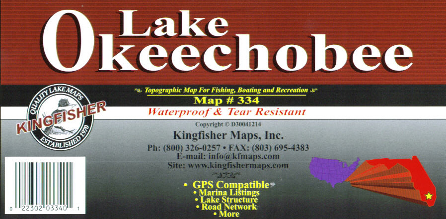
Okeechobee, FL
-- KF334
Topographic map for fishing, boating and recreation. 25
x 38 One-sided with GPS coordinates |
$9.95 |
|
| |
|
|
|
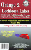 |
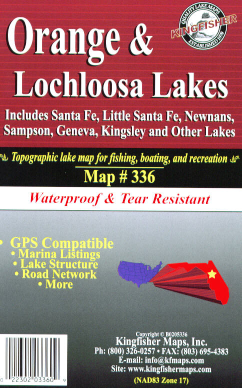
Orange-Lockloosa,
FL -- KF336
Topographic map for fishing, boating and recreation. 25
x 38 One-sided with GPS coordinates |
$9.95 |
|
| |
|
|
|
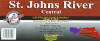 |
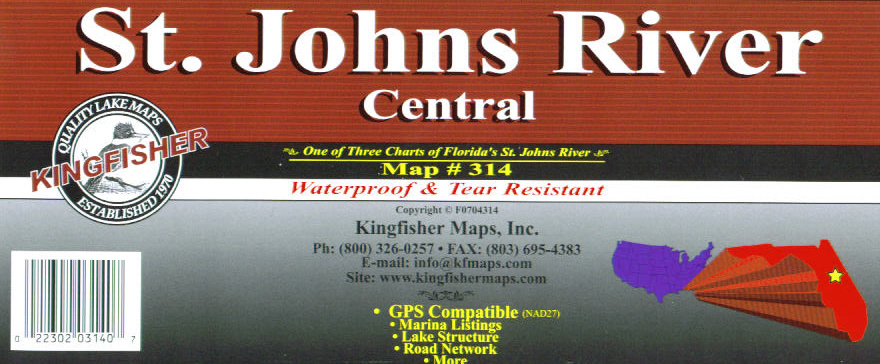
St. Johns River
Central, FL -- KF314
Topographic map for fishing, boating and recreation. 25
x 38 One-sided with GPS coordinates |
$9.95 |
|
| |
|
|
|
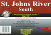 |
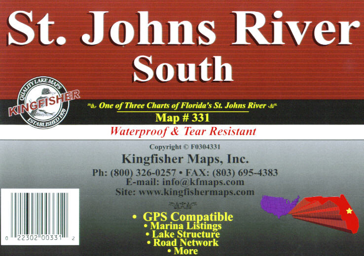
St. Johns River
South, FL -- KF331
Topographic map for fishing, boating and recreation. 25
x 38 One-sided with GPS coordinates |
$9.95 |
|
| |
|
|
|
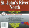 |
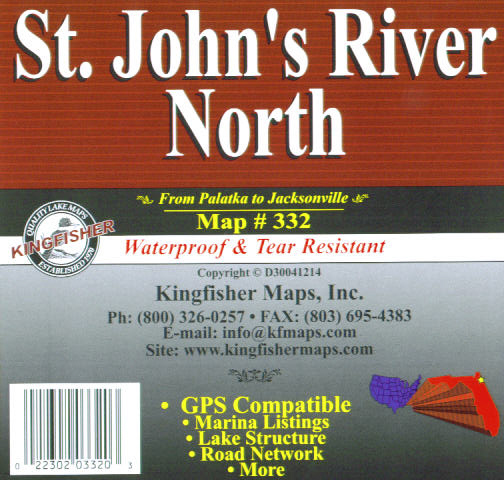
St. Johns River
North, FL -- KF332
Topographic map for fishing, boating and recreation. 25
x 38 One-sided with GPS coordinates |
$9.95 |
|
| |
|
|
|
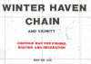 |
Winter Haven
Chain, FL -- KF335
Topographic map for fishing, boating and recreation. 25
x 38 One-sided with GPS coordinates |
$9.95 |
|
| |
|
|
|
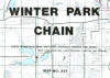 |
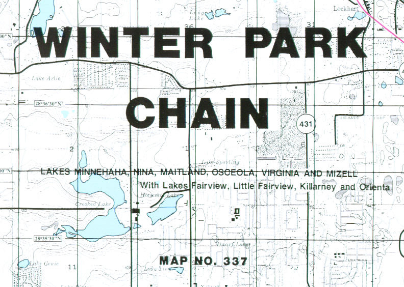
Winter Park Chain,
FL -- KF337
Topographic map for fishing, boating and recreation. 25
x 38 One-sided |
$9.95 |
|
| |
|
|
|
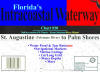 |
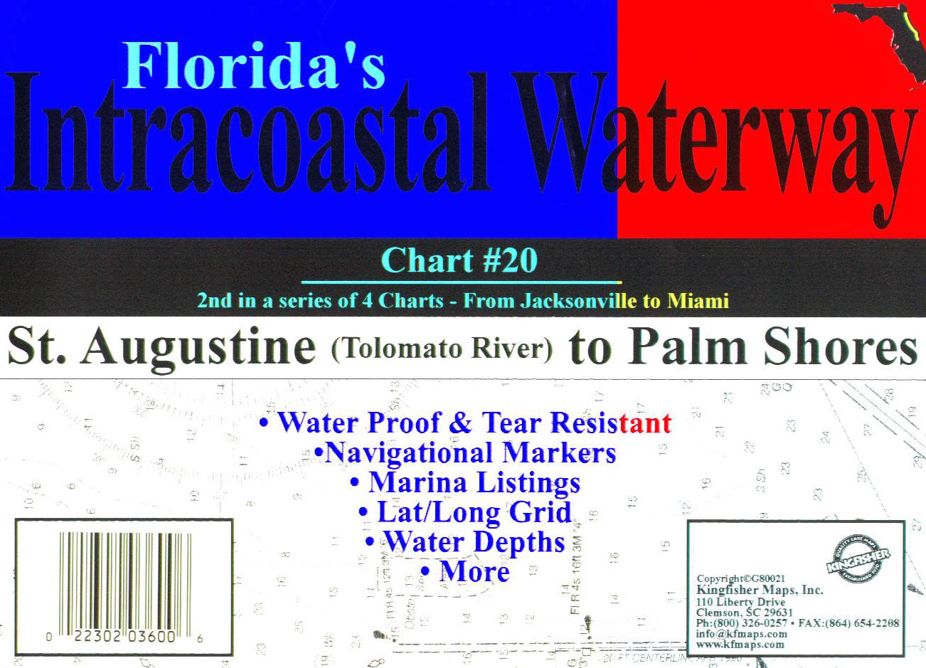
St. Augustine -
Palm Shores KFICW20
Intracoastal Waterway chart for fishing, boating and
recreation. 25 x 38 Two-sided with GPS coordinates |
$9.95 |
|
| |
|
|
|
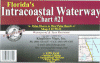 |
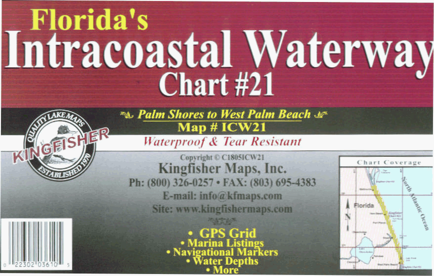
Palm Shores to
West Palm Beach -KFICW21
Intracoastal Waterway chart for fishing, boating and
recreation. 25 x 38 Two-sided with GPS coordinates |
$9.95 |
|
| |
|
|
|
| |
|
|
|
|
GEORGIA
top |
|
|
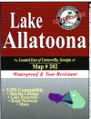 |
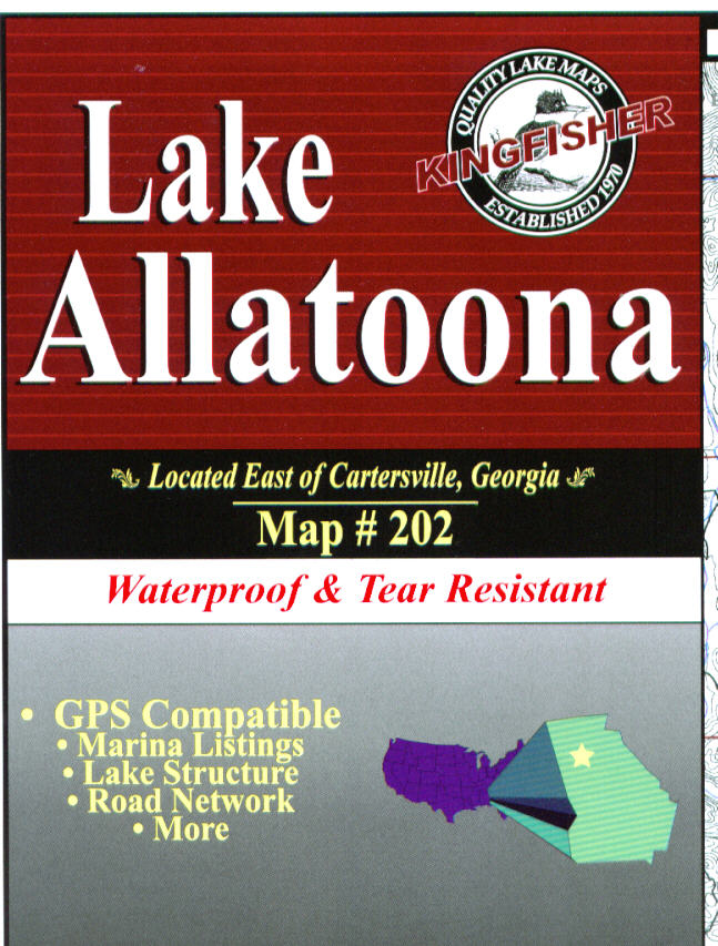
Allatoona, GA
-- KF202
Topographic maps for fishing, boating and recreation. 23
x 35 One-sided with GPS coordinates |
$9.95 |
|
| |
|
|
|
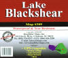 |
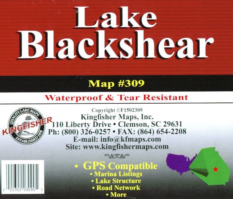
Blackshear, GA
-- KF309
Topographic maps for fishing, boating and recreation. 23
x 35 One-sided with GPS coordinates |
$9.95 |
|
| |
|
|
|
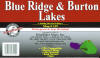 |
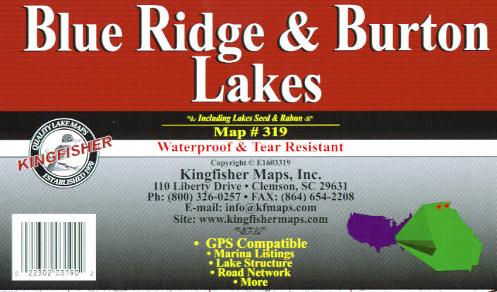
Blue Ridge -
Burton, GA -- KF319
Topographic maps for fishing, boating and recreation. 19
x 25 One-sided with GPS coordinates |
$9.95 |
|
| |
|
|
|
 |
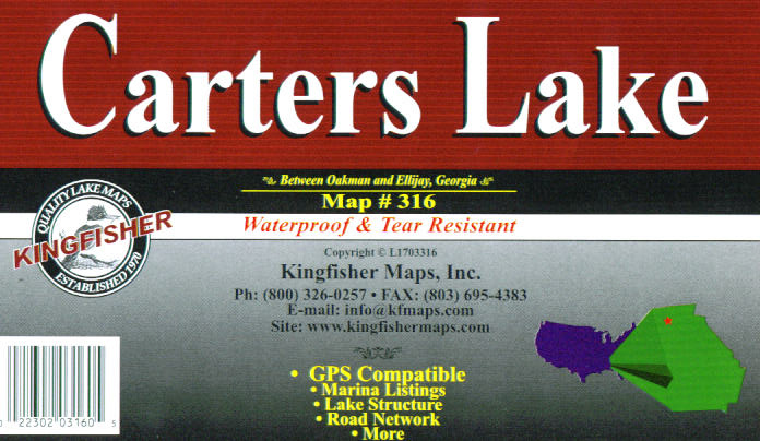
Carters, GA --
KF316
Topographic maps for fishing, boating and recreation. 25
x 38 One-sided with GPS coordinates |
$9.95 |
|
| |
|
|
|
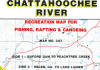 |
Chattahoochee
River, GA -- KF307
Topographic maps for fishing, boating and recreation. 25
x 38 Two-sided with GPS coordinates |
$9.95 |
|
| |
|
|
|
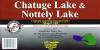 |
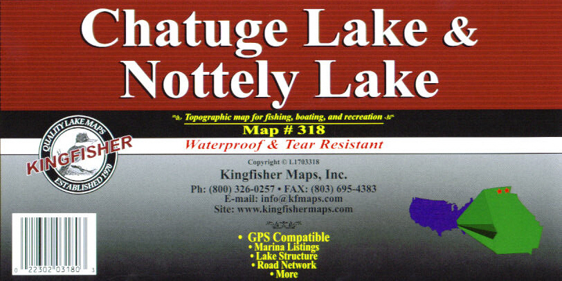
Chatuge - Nottely,
GA -- KF318
Topographic maps for fishing, boating and recreation. 19
x 25 Two-sided with GPS coordinates |
$9.95 |
|
| |
|
|
|
 |
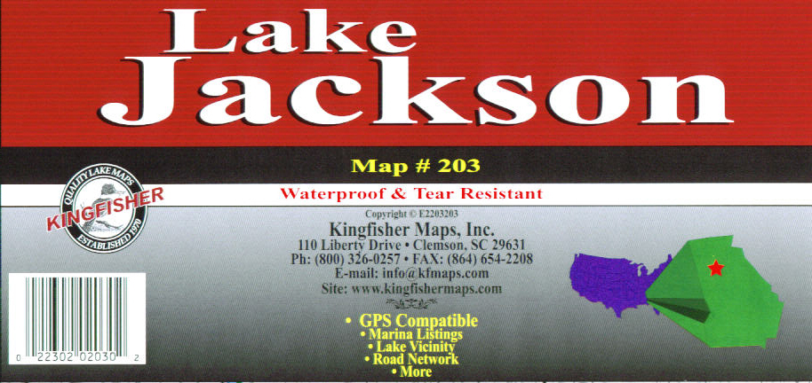
Jackson, GA --
KF203
No contours - vicinity only. 23 x 35 One-sided with GPS
coordinates |
$9.95 |
|
| |
|
|
|
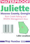 |
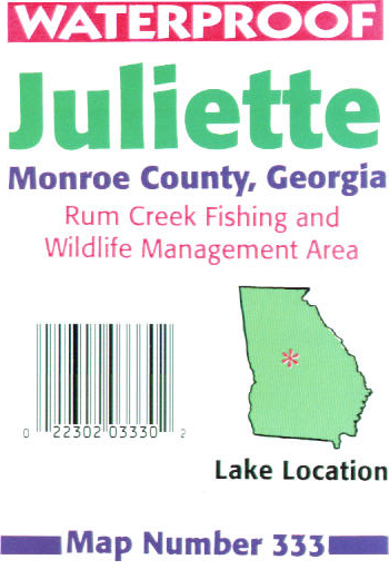
Juliette, GA
-- KF333
Topographic map for fishing, boating and recreation. 23
x 35 One-sided with GPS coordinates |
$9.95 |
|
| |
|
|
|
 |
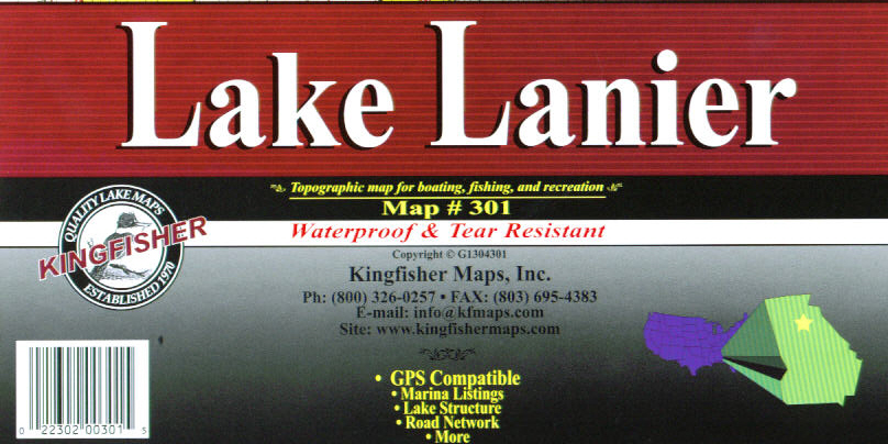
Lanier, GA --
KF301
Topographic map for fishing, boating and recreation. 25
x 38 Two-sided with GPS coordinates |
$9.95 |
|
| |
|
|
|
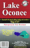 |
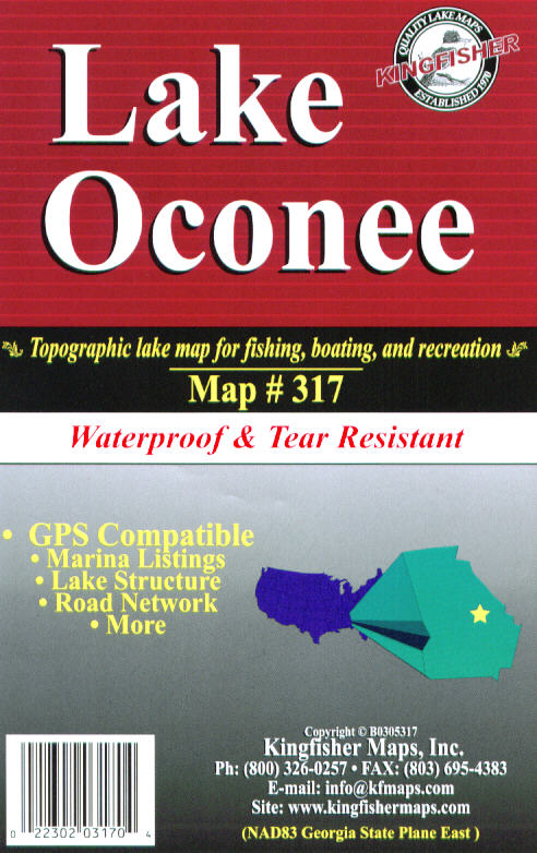
Oconee, GA --
KF317
Topographic map for fishing, boating and recreation. 25
x 38 One-sided with GPS coordinates |
$9.95 |
|
| |
|
|
|
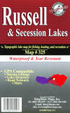 |
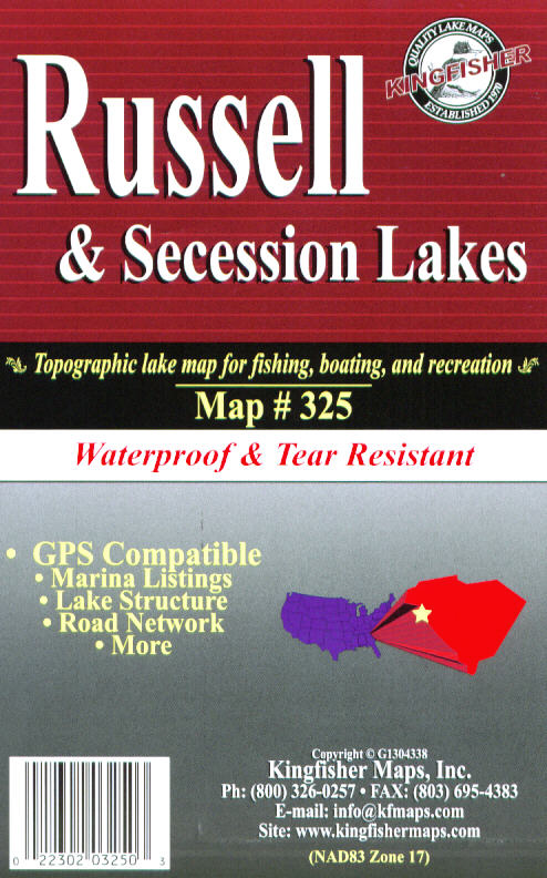
Russell, GA --
KF325
Topographic map for fishing, boating and recreation. 25
x 38 One-sided with GPS coordinates |
$9.95 |
|
| |
|
|
|
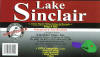 |
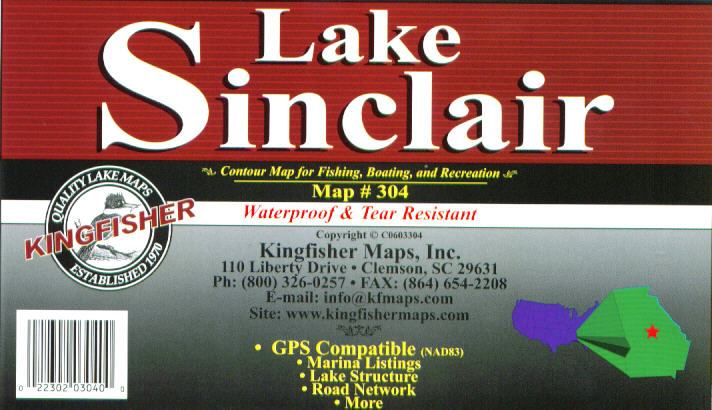
Sinclair, GA
-- KF304
Topographic map for fishing, boating and recreation. 25
x 38 One-sided with GPS coordinates |
$9.95 |
|
| |
|
|
|
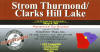 |
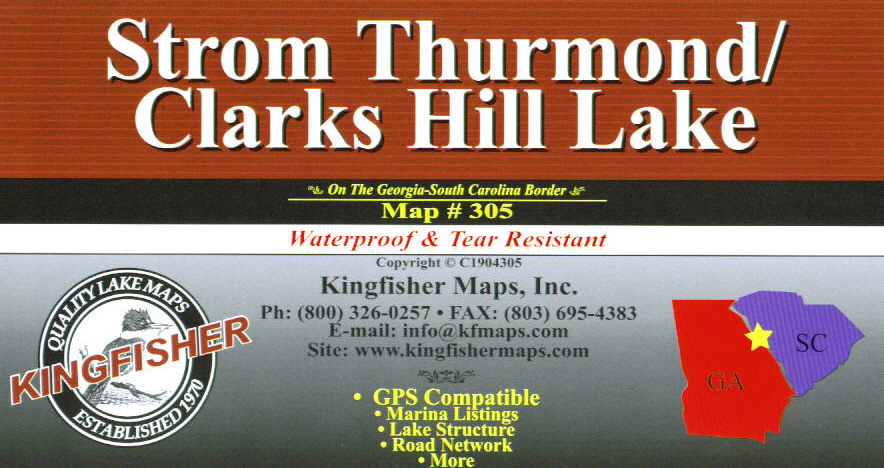
Thurmond - Clarks
Hill, GA -- KF305
Topographic map for fishing, boating and recreation. 25
x 38 One-sided with GPS coordinates |
$9.95 |
|
| |
|
|
|
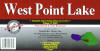 |
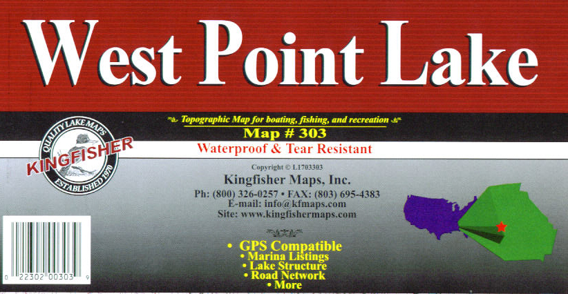
West Point, GA
-- KF303
Topographic map for fishing, boating and recreation. 23
x 35 One-sided with GPS coordinates |
$9.95 |
|
| |
|
|
|
|
KENTUCKY
top |
|
|
 |
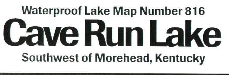
Cave Run, KY
-- KF816
Topographic map for fishing, boating and recreation. 23
x 35 One-sided with GPS coordinates |
$9.95 |
|
| |
|
|
|
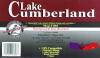 |
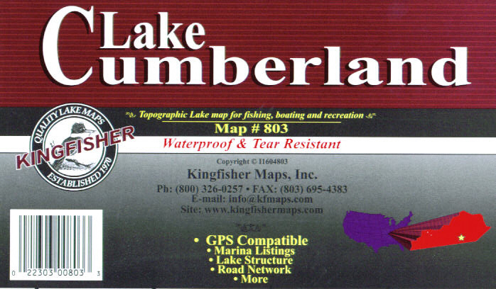
Cumberland, KY --
KF803
Topographic map for fishing, boating and recreation. 23
x 35 Two-sided with GPS coordinates |
$9.95 |
|
| |
|
|
|
 |
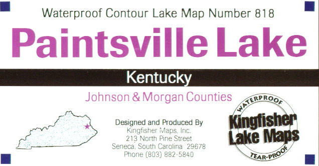
Paintsville, KY
-- KF818
Topographic map for fishing, boating and recreation. 23
x 35 One-sided with GPS coordinates |
$9.95 |
|
| |
|
|
|
 |
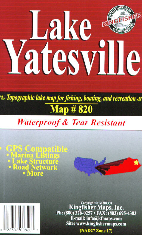
Yatesville, KY
-- KF820
Topographic map for fishing, boating and recreation. 23
x 35 One-sided with GPS coordinates |
$9.95 |
|
| |
|
|
|
|
NORTH CAROLINA
top |
|
|
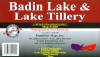 |
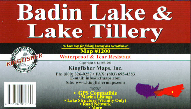
Badin - Tillery,
NC -- KF1200
No contours - vicinity only. 23 x 35 One-sided with GPS
coordinates |
$9.95 |
|
| |
|
|
|
 |
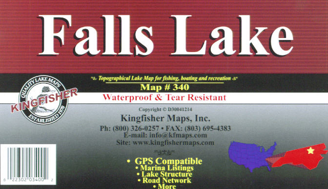
Falls, NC --
KF340
Topographic map for fishing, boating and recreation. 25
x 38 One-sided with GPS coordinates |
$9.95 |
|
| |
|
|
|
 |
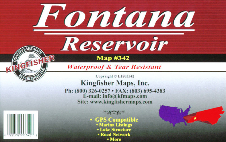
Fontana, NC --
KF342
Topographic map for fishing, boating and recreation. 23
x 35 One-sided with GPS coordinates |
$9.95 |
|
| |
|
|
|
 |
Harris, NC --
KF1208
Topographic map for fishing, boating and recreation. 23
x 35 One-sided with GPS coordinates |
$9.95 |
|
| |
|
|
|
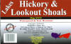 |
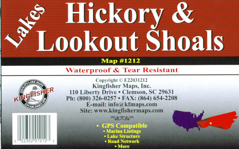
Hickory - Lookout
Shoals, NC -- KF1212
Topographic map for fishing, boating and recreation. 23
x 35 One-sided with GPS coordinates |
$9.95 |
|
| |
|
|
|
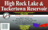 |
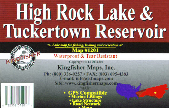
High Rock -
Tuckertown, NC -- KF1201
No contours - vicinity only. 23 x 35 One-sided with GPS
coordinates |
$9.95 |
|
| |
|
|
|
|
Available
soon |
Hiwassee, NC
-- KF1210
Topographic map for fishing, boating and recreation. 23
x 35 One-sided with GPS coordinates |
$9.95 |
|
| |
|
|
|
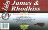 |
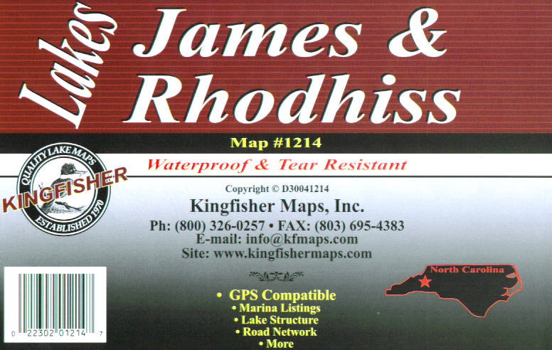
James -Rhodhiss,
NC -- KF1214
Topographic map for fishing, boating and recreation. 23
x 35 Two-sided with GPS coordinates |
$9.95 |
|
| |
|
|
|
 |
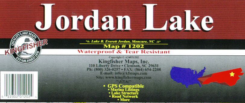
Jordan, NC --
KF1202
Topographic map for fishing, boating and recreation. 23
x 35 One-sided with GPS coordinates |
$9.95 |
|
| |
|
|
|
 |
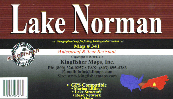
Norman, NC --
KF341
Topographic map for fishing, boating and recreation. 25
x 38 One-sided with GPS coordinates |
$9.95 |
|
| |
|
|
|
|
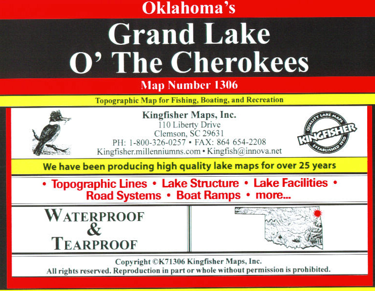
OKLAHOMA
top |
|
|
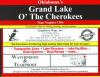 |
Grand, OK --
KF1306
Topographic map for fishing, boating and recreation. 23
x 35 Two-sided |
$9.95 |
|
| |
|
|
|
|
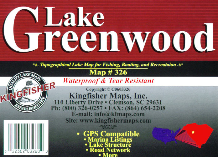
SOUTH CAROLINA
top |
|
|
 |
Greenwood, SC
-- KF326
Topographic map for fishing, boating and recreation.
Soundings in lake - no contours. 25 x 38 One-sided with
GPS coordinates |
$9.95 |
|
| |
|
|
|
 |
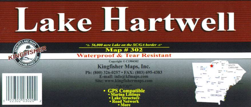
Hartwell, SC
-- KF302
Topographic maps for fishing, boating and recreation. 25
x 38 Two-sided with GPS coordinates |
$9.95 |
|
| |
|
|
|
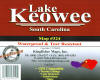 |
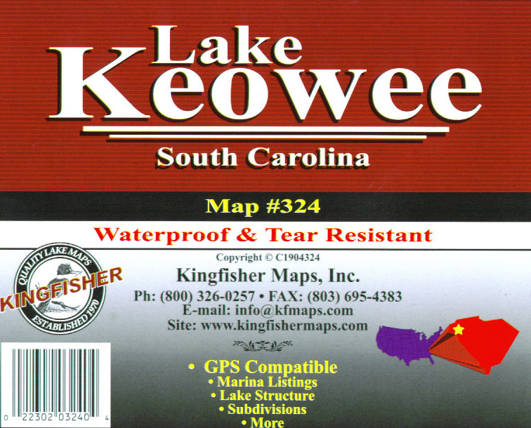
Keowee, SC --
KF324
Topographic map for fishing, boating and recreation. 23
x 35 One-sided with GPS coordinates |
$9.95 |
|
| |
|
|
|
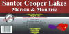 |
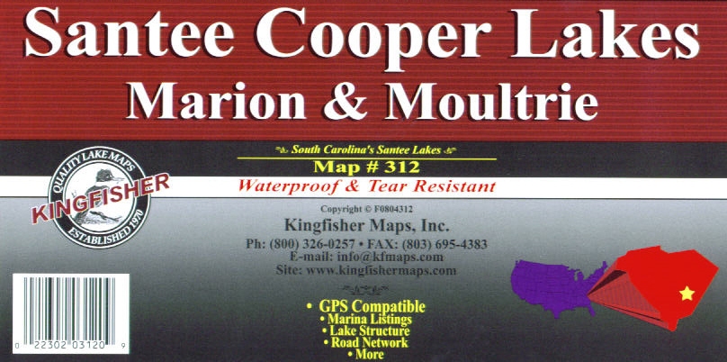
Marion - Moultrie,
SC -- KF312
Topographic map for fishing, boating and recreation. The
Santee Cooper Lakes. 23 x 35 Two-sided with GPS
coordinates |
$9.95 |
|
| |
|
|
|
 |
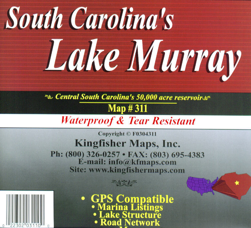
Murray -
Monticello, SC -- KF311
Topographic map for fishing, boating and recreation. 25
x 38 Two-sided with GPS coordinates |
$9.95 |
|
| |
|
|
|
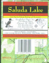 |
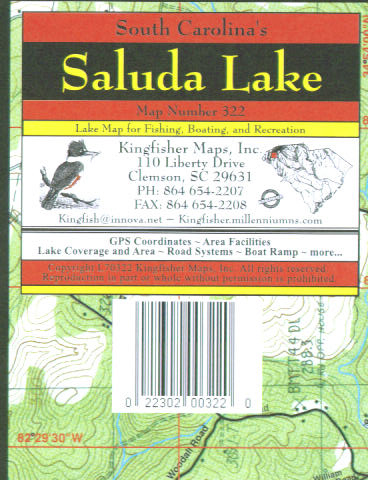
Saluda, SC --
KF322
Topographic map for fishing, boating and recreation. 11
x 17 One-sided with GPS coordinates |
$9.95 |
|
| |
|
|
|
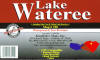 |
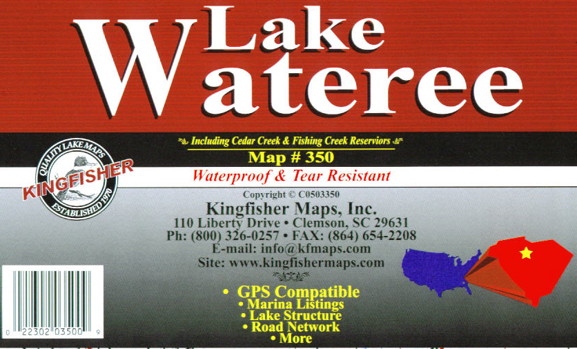
Wateree, SC --
KF350
Topographic map for fishing, boating and recreation.
Soundings in lake - no contours. 25 x 38 One-sided with
GPS coordinates |
$9.95 |
|
| |
|
|
|
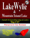 |
Wylie, SC --
KF327
Topographic map for fishing, boating and recreation. 25
x 38 One-sided with GPS coordinates |
$9.95 |
|
| |
|
|
|
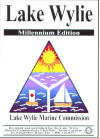 |
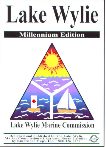
Lake Wylie Marine
Commission -- KFLWMC
Topographic map for fishing, boating and recreation. 23
x 35 Two-sided with GPS coordinates |
$9.95 |
|
| |
|
|
|
|
TENNESSEE
top |
|
|
 |
Boone, TN --
KF1740
Topographic map for fishing, boating and recreation. 23
x 35 One-sided with GPS coordinates |
$9.95 |
|
| |
|
|
|
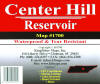 |
Center Hill, TN
-- KF1700
Topographic map for fishing, boating and recreation. 23
x 35 One-sided with GPS coordinates |
$9.95 |
|
| |
|
|
|
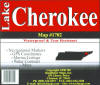 |
Cherokee, TN
-- KF1702
Topographic map for fishing, boating and recreation. 23
x 35 Two-sided with GPS coordinates |
$9.95 |
|
| |
|
|
|
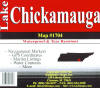 |
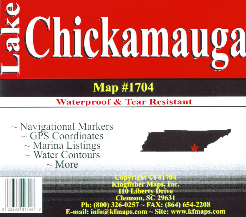
Chickamauga, TN
-- KF1704
Topographic map for fishing, boating and recreation. 23
x 35 Two-sided with GPS coordinates |
$9.95 |
|
| |
|
|
|
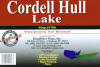 |
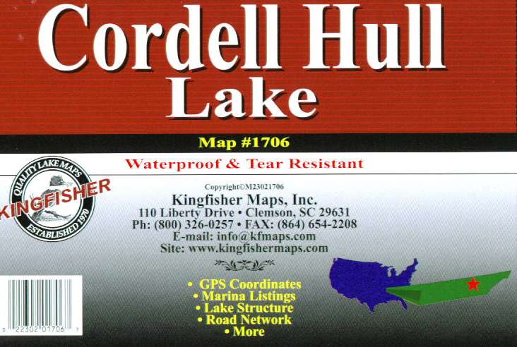
Cordell Hull, TN
-- KF1706
Topographic map for fishing, boating and recreation. 23
x 35 One-sided with GPS coordinates |
$9.95 |
|
| |
|
|
|
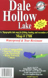 |
Dale Hollow, TN
-- KF1708
Topographic map for fishing, boating and recreation. 23
x 35 One-sided with GPS coordinates |
$9.95 |
|
| |
|
|
|
 |
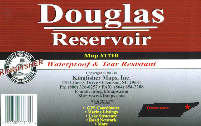
Douglas, TN --
KF1710
Topographic map for fishing, boating and recreation. 23
x 35 Two-sided with GPS coordinates |
$9.95 |
|
| |
|
|
|
 |
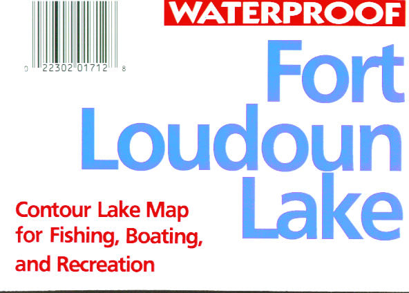
Fort Loudoun -
Melton Hill, TN -- KF1712
Topographic map for fishing, boating and recreation. 23
x 35 One-sided |
$9.95 |
|
| |
|
|
|
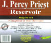 |
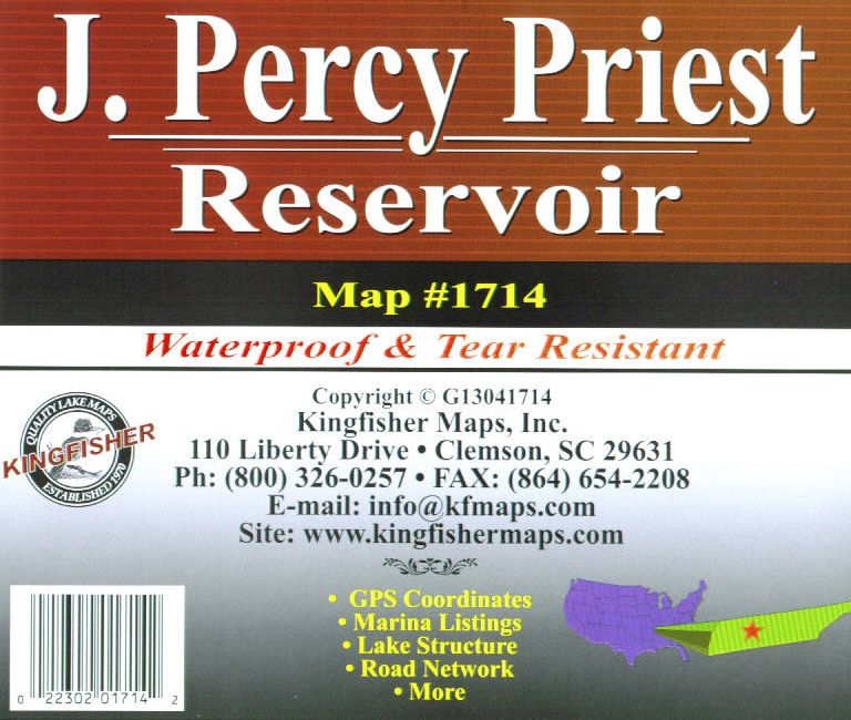
J. Percy Priest,
TN -- KF1714
Topographic map for fishing, boating and recreation. 23
x 35 One-sided with GPS coordinates |
$9.95 |
|
| |
|
|
|
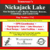 |
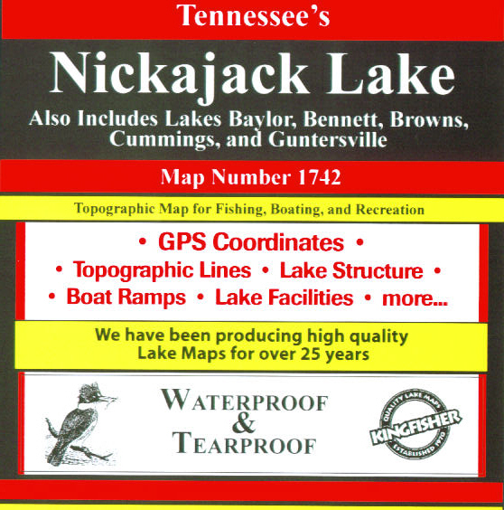
Nickajack, TN
-- KF1742
Topographic map for fishing, boating and recreation. 23
x 35 Two-sided with GPS coordinates |
$9.95 |
|
| |
|
|
|
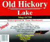 |
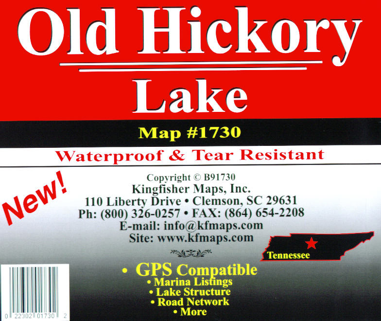
Old Hickory, TN
-- KF1730
Topographic map for fishing, boating and recreation. 23
x 35 Two-sided with GPS coordinates |
$9.95 |
|
| |
|
|
|
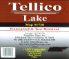 |
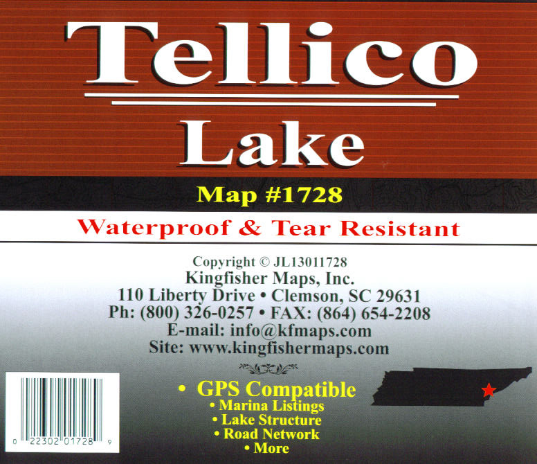
Tellico, TN --
KF1728
Topographic map for fishing, boating and recreation. 23
x 35 One-sided with GPS coordinates |
$9.95 |
|
| |
|
|
|
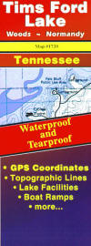 |
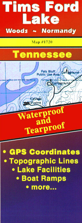
Tims Ford - Woods
- Normandy -- KF1720
Topographic map for fishing, boating and recreation. 23
x 35 Two-sided with GPS coordinates |
$9.95 |
|
| |
|
|
|
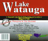 |
Watauga - South
Holston, TN -- KF1724
Topographic map for fishing, boating and recreation. 23
x 35 Two-sided with GPS coordinates |
$9.95 |
|
| |
|
|
|
|
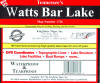 |
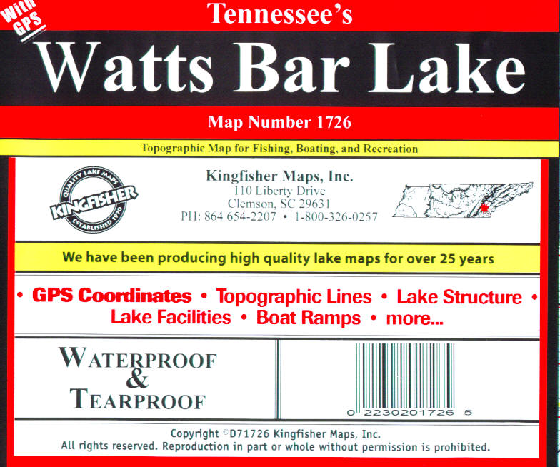
Watts Bar, TN
-- KF1726
Topographic map for fishing, boating and recreation. 23
x 35 Two-sided with GPS coordinates |
$9.95 |
|
| |
|
|
|
|
TEXAS
top |
|
|
 |
Fork, TX --
KF1803
Topographic map for fishing, boating and recreation. 23
x 35 One-sided with GPS coordinates |
$9.95 |
|
| |
|
|
|
|
VIRGINIA
top |
|
|
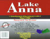 |
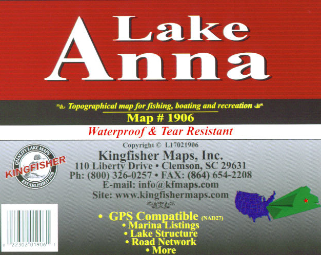
Anna, VA --
KF1906
Topographic map for fishing, boating and recreation. 25
x 38 Two-sided |
$9.95 |
|
| |
|
|
|
 |
JH Kerr East, VA
-- KF1900
Topographic map for fishing, boating and recreation. 25
x 38 Two-sided |
$9.95 |
|
| |
|
|
|
 |
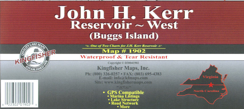
JH Kerr West, VA
-- KF1902
Topographic map for fishing, boating and recreation. 25
x 38 Two-sided |
$9.95 |
|
| |
|
|
|
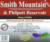 |
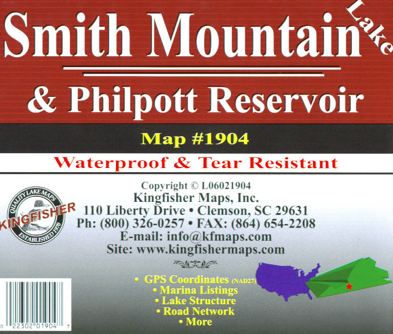
Smith Mountain -
Philpott, VA -- KF1904
Out Of Stock
Topographic map for fishing, boating and recreation. 23
x 35 Two-sided with GPS coordinates |
$9.95 |
|
| |
|
|
|