|
|
Featured Products |
|

Click on image for more information |
|
Search our Site |
|
|
|
 |
|
|
|
|
|
|
|
GeoMart
516 Villanova Court
Ft Collins, CO 80525
800-248-6277
800-321-6277 Fax |
| |
|
NOAA Coast Pilot
The United States Coast
Pilot consists of a series of nautical books that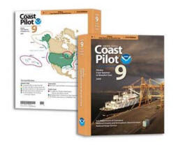 cover a variety of information important to navigators of
coastal and intracoastal waters and the Great Lakes. Issued
in nine volumes, they contain supplemental information that
is difficult to portray on a nautical chart.
cover a variety of information important to navigators of
coastal and intracoastal waters and the Great Lakes. Issued
in nine volumes, they contain supplemental information that
is difficult to portray on a nautical chart.
Topics in the Coast Pilot
include: channel descriptions, anchorages, bridge and cable
clearances, currents, tide and water levels, prominent
features, pilotage, towage, weather, ice conditions, wharf
descriptions, dangers, routes, traffic separation schemes,
small-craft facilities, and Federal regulations applicable
to navigation.
The Coast Survey has initiated an effort aimed at modernizing
the Coast Pilot through enhancements which may include, but
is not limited to, changing it's content, improving the
quality of content, and changing the media of presentation
to other than paper.
The The Coast Pilots are in a PDF file format. You will
need to have an Acrobat Reader installed to view the index.
If you do not already have one, you can download one free
here.
Acrobat Reader
|
 |
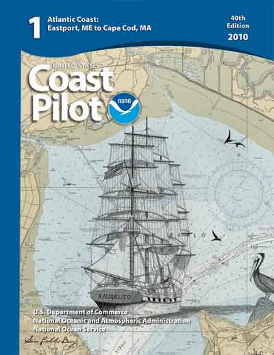
Coast Pilot 1 - 40th Edition, 2010
Coast Pilot 1 covers the coasts of
Maine, New Hampshire, and part of Massachusetts, from
West Quoddy Head in Maine to Provincetown in
Massachusetts. Major ports are at Portsmouth, NH and
Boston MA
|
|
 |
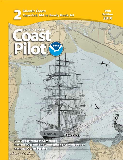
Coast
Pilot 2 - 39th Edition, 2010
Coast Pilot 2 covers the Atlantic coast from Cape Cod to
Sandy Hook, embracing part of the Massachusetts coast
and all of the coasts of Rhode Island, Connecticut, and
New York.
|
|
 |
Coast
Pilot 3 - 43rd Edition, 2010
Coast Pilot 3 covers the Atlantic coast from Sandy Hook
to Cape Henry, including the New Jersey Coast, Delaware
Bay, Philadelphia, the Delaware - Maryland - Virginia
coast, and the Chesapeake Bay.
|
|
 |
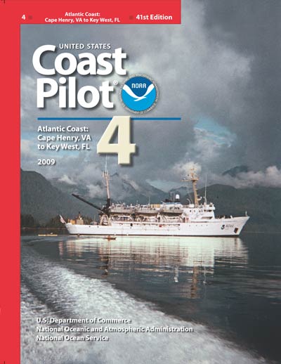
Coast
Pilot 4 - 41st Edition, 2009
Coast Pilot 4 covers the Atlantic coast of the United
States from Cape Henry to Cape Florida.
|
|
 |
Coast
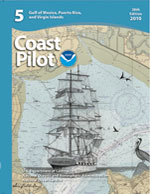
Pilot 5 - 38th Edition, 2010
Coast Pilot 5 covers the Gulf of Mexico coast of the
United States from Key West, FL., to the Rio Grande.
This area is generally low and mostly sandy, presenting
no marked natural features to the mariner approaching
from seaward. Coast Pilot 5 also covers Puerto Rico and
the Virgin Islands.
|
|
 |
Coast
Pilot 6 - 40th Edition, 2010
Coast Pilot 6 covers the Great Lakes system, including
Lakes Ontario, Erie, Huron, Michigan, and Superior,
their connecting waters, and the St. Lawrence River.
With the opening of the St. Lawrence Seaway, the system
provides access by ocean going deep-draft vessels to the
great industrial and agricultural heartland of the North
American continent.
|
|
 |
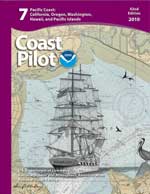
Coast
Pilot 7 - 42nd Edition, 2010
Coast Pilot 7 covers the rugged United States coast of
California, Oregon and Washington, between Mexico on the
south and Canada's British Columbia on the north. Coast
Pilot 7 also includes Hawaii and other United States
territories in the South Pacific.
|
|
 |
Coast
Pilot 8 - 32nd Edition, 2010
Coast Pilot 8 covers the panhandle section of Alaska
between the south boundary and Cape Spencer. In this
volume, general ocean coastline is only 250 nautical
miles, but tidal shoreline totals 11,085 miles.
|
|
 |
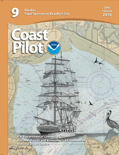
Coast
Pilot 9 - 28th Edition, 2010
Coast Pilot 9 deals with the Pacific and Arctic coasts
of Alaska from Cape Spencer to the Beaufort Sea. General
ocean coastline totals 5,520 nautical miles, and tidal
shoreline totals 18,377 miles.
|
|
|
|
|
|