The manufacturer of these map has gone out of business. To see what we have remaining in our inventory, please check out our Raised Relief Map site for what we have available. Thank you.
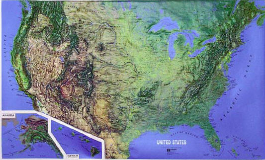
USGS Regional Raised Relief Maps are a superior visual reference.
Fully three-dimensional, our vacuum-formed vinyl maps use shaded
relief to represent altitude gradation and topographic diversity.
Don't Know which one you need? See the indices below