|
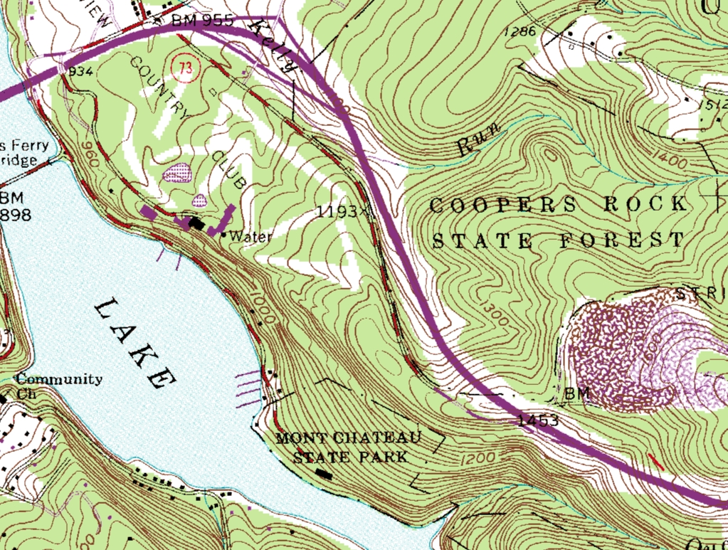
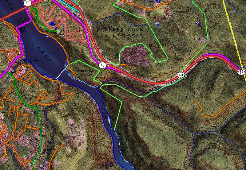
Digital Raster Graphics - DRG

GeoMart
offers
County DRG bundles with
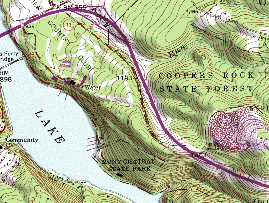
or without the map collars. The map collar is the white border
surrounding the "neat area" of each topographic map. The
collars provide information pertaining to each map, such as map
name, currentness, magnetic declination, and revision dates.
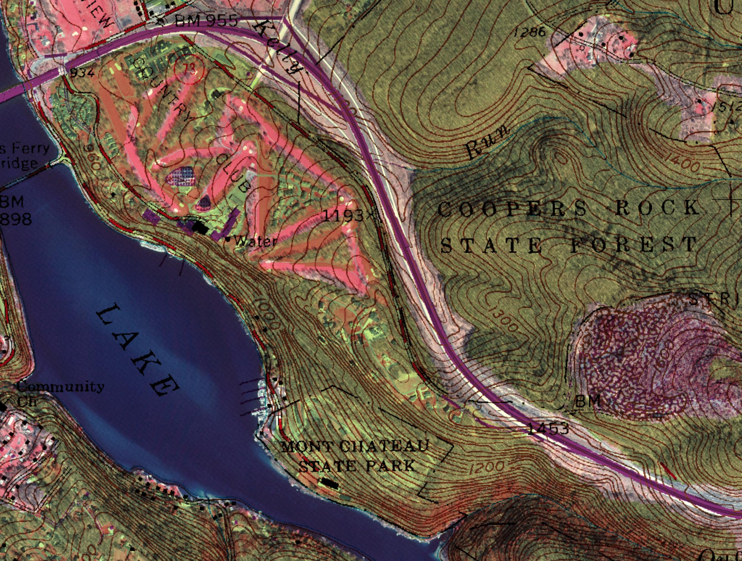
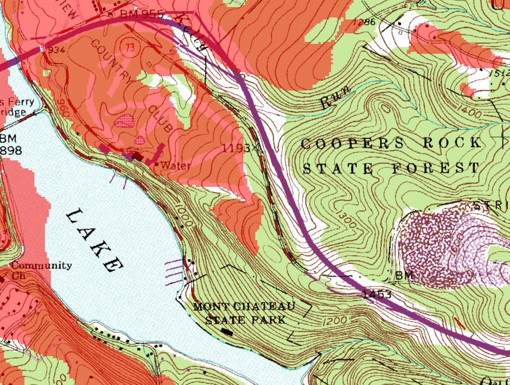
With the collars removed you will be able to join adjacent maps
to mosaic areas that cross the standard boundaries of USGS
topographic maps.
View County Bundles
All county
bundles include all 1:24k, 1:100k and 1:250k covering that county.
|
Click on State to
View Counties |
|
ALL COUNTIES $49.95!
w/o collars $89.95
|
|
|
|
DRG native projection is UTM, NAD 27, Meters.
If you would like the data reprojected into another system, please
contact us at (800) 248-6277. We can reproject the data into
almost any system for an additional 50% on above prices.
|