|
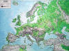
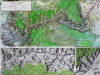
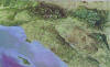
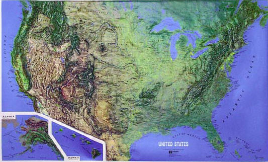
Raised
Relief Maps
These high quality vinyl
3-D maps use shaded relief to represent altitude, gradation and
topographic diversity.
Choose from a variety of
state,
national park,
continents,
world and
USA raised relief maps.
We also offer more than 250 USGS 1:250,000 scale 3-D maps.
The raised relief maps are
attractive, informative, educational and reasonably priced.
Travelers, outdoor enthusiast, map collectors, teachers and students
will find these maps highly useful, as well the raised relief maps
make a wonderful conversation piece and add to the decor of any
office, home, school, hotel or library.
|