|
Canadian Topographic Map Software
SoftMap
produces a range of high definition digital topographic maps that are
exact copies of current Canadian federal topographic maps. They are
reproduced under license from Natural Resources Canada.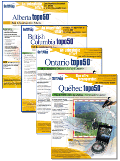
Each SoftMap
volume contains approximately 200 topographic maps at scales of
1:50,000 and 1:250,000. These digital products were produced using
paper map versions which were scanned and digitally compiled to
produce seamlessly joined coverage. This allows the user to pan
continuously across large areas. The maps can also be centered on the
interest area and printed using home office printer. Furthermore, the
maps can be customized by adding any of the 150 built-in icons and
roads and tracks can be added.
The maps are
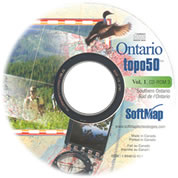
packaged in CD format to cover the whole of
British Columbia,
Alberta,
Ontario and
Quebec at scales of 1:50,000 and 1:250,000 with each province
divided into convenient sectors. GPS Interface is available as
required.
A Maritimes volume is nearing completion that will cover Nova Scotia,
New Brunswick and Prince Edward Island. (Due early October 2003)
SoftMap has
recently signed an agreement with the Quebec government allowing them
reproduce their 1:20,000 scale topographic maps for a new
Quebec Topo 20 series. Added functionality are search capabilities
for "street addresses search" and "places of interest" to further
enhance this new product range.
All the
provinces of Canada are contained in one package at a scale of
1:250,000. There are also specialized maps of Québec for
hunters and fishermen, as well as,
A.T.V. users and
campers.
:: Features
- The unique
feature is that these maps are seamlessly joined so that the user
can navigate by scrolling across the whole area.
- Any location
can be centralized on the screen and printed out. Your location is
no longer at the junction of two or more maps.
- A click on
the mouse will change the scale up or down.
- The maps can
be customized by adding any of the 150 + icons and text can be added
as desired.
- Areas can be
outlined and automatically computed.
- Trails can
be added.
- Exact
Latitude and Longitude of the screen pointer is shown at all times.
- Magnetic
variation is there as needed.
- The software
contains all the official geographic names of all of Canada, by
province. When a particular name is selected, that map location is
found and appears on the screen.
 |
 |
SOFTMAP PRICES REPRESENT INCREDIBLE VALUE
FOR MONEY
Most of the SoftMap area packages contain around 200 topographic
maps.
To buy the official printed maps at the government recommended
retail price of $12.95 each would cost well over $2,000. |
| 


