|
Wall Maps
- State, County & Cities - New Hampshire & Vermont
GeoMart
is rapidly expanding its on-line selection of wall maps. If you
don't find what you are looking for here, please give us a call at
800-248-6277. One of our customer service representative will be
happy to assist you in finding the right map for you.
Most Maps Usually Ship within 48 hours.
Laminated maps with the option of hanging
rails usually ship in 5 days
 |
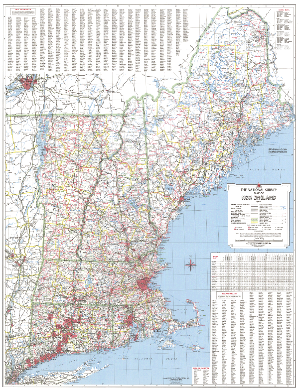
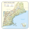
NEW ENGLAND WALL MAP
2007
2nd edition The New England Area Wall Map by Universal Map is printed in color on a laminated surface. Indexing is found on the face of the map and it measures 36 W x 48 H. Includes framing rails. Coverage area: CT, MS, ME, NH, RI, and VT. | |
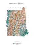 |
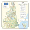
Raven Vermont & New Hampshire Map
Our map of central New England combines two
states of historic and geographic importance. Elevations are
represented by color, and this, in combination with our relief
shading technique, gives the map a 3-dimensional look.
Raven Vermont & New Hampshire Map Dimensions: 26" x 37"
(approx.)
Raven Vermont & New Hampshire Map Scale: 1:500,000 or 1" equals
about 8 miles. |
|
 |
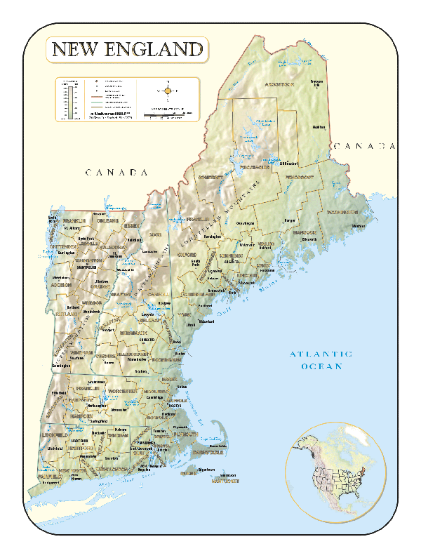
NEW ENGLAND SHADED RELIEF MAP
The New England Shaded Relief Wall Map by Universal Map measures 36 W x 48 H and is a full-color, topographical wall map. The map's lamination makes the map able to be marked on and wiped off easily. Statistical information on this map includes historical, anecdotal, and geographical. There is also an inset map of the world locating North America. Other data found with the map are an elevation table, national capital, major cities, mountain peaks, national boundaries, latitude and longitude lines, the Tropic of Cancer, and the Meridian of Greenwich. There is also a scale showing distances in miles and kilometers. |
Click Price to Add to Cart | |
Laminated |
$29.95 |
|
 |
NEW HAMPSHIRE SHADED RELIEF MAP
2000 1st edition The New Hampshire Shaded Relief Wall Map by Universal Map measures 36 W x 46 H and is a full-color, topographical wall map. There is an inset map of North America showing the relative position of the state. Included is geographical, historical, and anecdotal information about Maryland. Also provided with this map are the major cities, counties, national capital, state capital, county seats, and state and county boundaries. There is a distance scale calibrated in miles and kilometers, and identifies county boundaries. State facts include flag, motto, bird, flower, and tree, plus total area, population and origin of name. Its heavy laminated surface can be used with waterbased pens. |
Click Price to Add to Cart | | Laminated |
$31.95 |
|
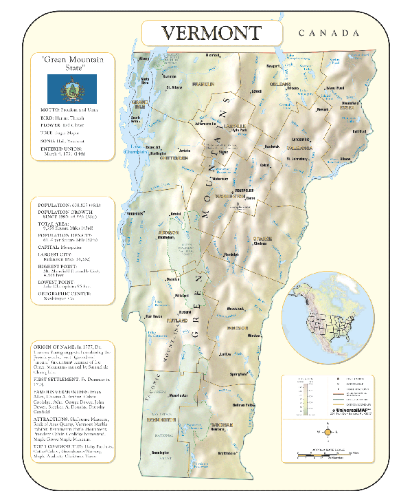 |
VERMONT SHADED RELIEF MAP
2000 1st edition The Vermont Shaded Relief Wall Map by Universal Map is a full-color, topographical wall map. Statistical information on this map includes historical, anecdotal, and geographical. There is also an elevation scale measured in meters and feet and a distance scale measured in miles and kilometers. Identifies county boundaries. Shows state flag. Lists state motto, bird, flower, and tree, plus total area, population and origin of name. Its heavy laminated surface can be used with waterbased pens.
36" x 46" |
Click Price to Add to Cart | | Laminated |
$31.95 |
|
|