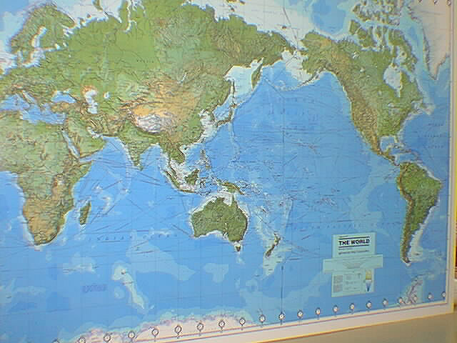
GeoMart
is rapidly expanding its on-line selection of wall maps. If you
don't find what you are looking for here, please give us a call at
800-248-6277. One of our customer service representative will be
happy to assist you in finding the right map for you.
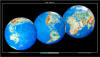
During the 1930's and 1940's, several National Geographic world
maps were designed using a projection that separated the eastern
and western hemispheres. This classic view of the world has been
brought back with updated, modern cartography and an
elegant earth-tone color palette. This new, yet fashionably
retro, world map is the World Hemispheres.
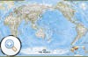
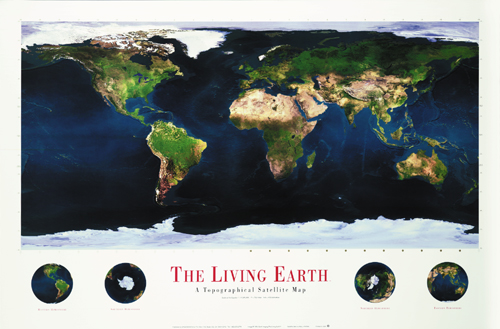
The most accurate map
of the Earth's surface ever produced from satellite data. This
computer-generated composite map draws from more that 500 images
to give one-kilometer detail and consistent representation of
natural colors.
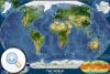
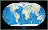
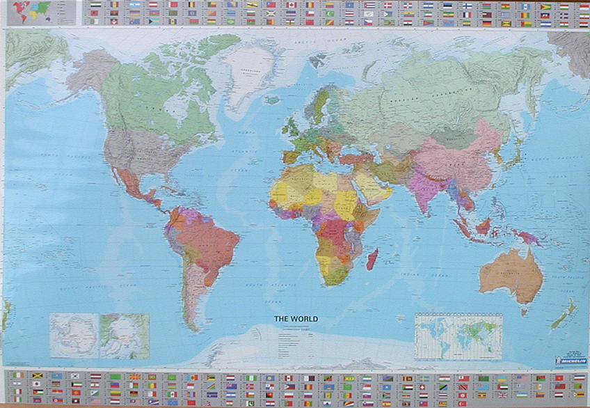
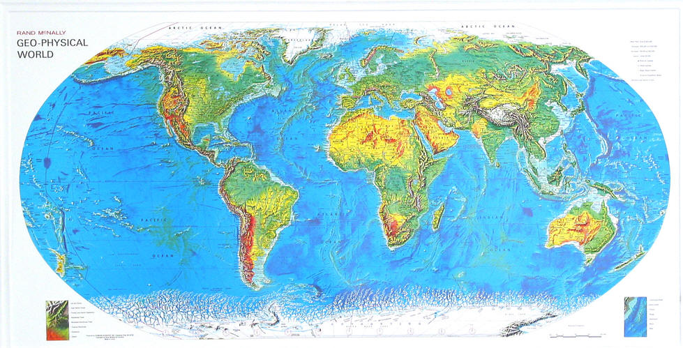
The World Physical - Ocean Floor map highlights the
Earth's land and undersea forms with exquisite hand-painted
relief. Drawn in the Winkel Tripel projection to minimize
distortion of the landforms. Two corner inset maps show the
Earth's crust and world climatic zones.
Explore the ridges, vents, deep sea life, and terrain of the
Pacific with this physical map of the ocean floor. Includes the
Mariana Trench (the deepest place on Earth) and the Aleutian
Trench.
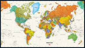
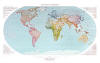
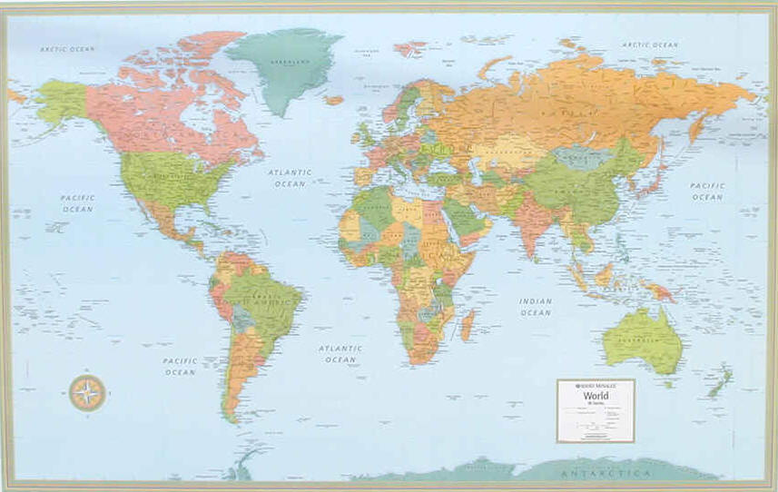
The colorful World Explorer map is designed
using the Winkel Tripel projection, which reduces the distortion
of land masses near the poles. Inset charts list largest cities
by population and the largest countries by land mass and
population.
This intriguing map reveals in stunning
detail the pulsating lights of the Earth at night. See where
populations are most and least concentrated. The rare view is a
composite image made by three satellites on cloud-free nights
over a one-year period. In addition to showing lighted areas of
the Earth, this map also features where fires rage and natural
gas burn-off and night fishing locations.