|
Wall Maps
- State, County & Cities - Oregon
GeoMart
is rapidly expanding its on-line selection of wall maps. If you
don't find what you are looking for here, please give us a call at
800-248-6277. One of our customer service representative will be
happy to assist you in finding the right map for you.
Most Maps Usually Ship within 48 hours.
Laminated maps with the option of hanging
rails usually ship in 5 days
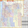 |
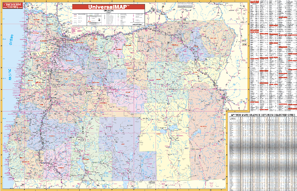
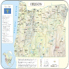
OREGON WALL MAP
2003
2nd edition
The 2nd edition of the Oregon Wall Map measures 64” W x 44” H, includes
up-to-date cartography, and is printed in color on a laminated surface. Features
color-coded counties, mileage chart between major cities, all state and fed.
highways, secondary roads, cities/towns, airports, waterways, state
universities, military installations, co. populations, state/national parks, and
points of interest. Cities and counties are indexed on the face of the map.
Framing rails are available on top and bottom for easy wall mounting. | |
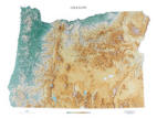 |
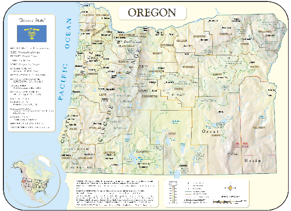
Raven Oregon Map
Oregon extends from the Columbia River in the
north, through the Cascade Mountains with their volcanoes and
Crater Lake (at 1,932' deep, it's the deepest lake in the United
States), to the Klamath Mountains in the south and the extensive
farm and ranch country of the Columbia Plateau in the east.
Elevations are represented by color, and this, in combination
with our relief shading technique, gives the map a 3-dimensional
look.Raven Oregon
Map Dimensions: 43" x 56" (approx.)
Raven Oregon Map Scale: 1:500,000 or 1" equals about 8 miles |
|
 |
OREGON SHADED RELIEF MAP
The Oregon Shaded Relief Wall Map by Universal Map is a full-color, topographical wall map. Statistical information on this map includes historical, anecdotal, and geographical. There is also an elevation scale measured in meters and feet and a distance scale measured in miles and kilometers. Identifies county boundaries. Shows state flag. Lists state motto, bird, flower, and tree, plus total area, population and origin of name. Its heavy laminated surface can be used with waterbased pens.
48" x 36" |
Click Price to Add to Cart | | Laminated |
$31.95 |
|
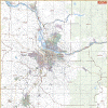 |
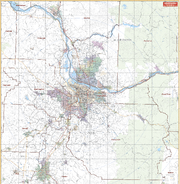
PORTLAND/VICINITY WALL MAP
2004
2nd edition The Portland, OR Vicinity Wall Map by Universal Map measures 54” x 64.” Area of Coverage: North: 88 miles North to the Idaho State line; South: 75 miles South to the Nephi in Juab County; East: 90 miles East to Duchesne in duchesne County; West: approximately 48 miles West to Dugway in Tooele County. Printed in color with a markable and washable surface and indexed on the face of the map.
Framing rails are available on top and bottom. Excellent source for routing or planning. | |
|