|
Wall Maps
- State, County & Cities - Washington
GeoMart
is rapidly expanding its on-line selection of wall maps. If you
don't find what you are looking for here, please give us a call at
800-248-6277. One of our customer service representative will be
happy to assist you in finding the right map for you.
Most Maps Usually Ship within 48 hours.
Laminated maps with the option of hanging
rails usually ship in 5 days
 |
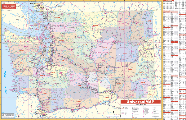
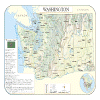
WASHINGTON WALL MAP
2003 1st edition The Washington Wall Map by Universal Map measures 62” x 42” and provides up-to-date cartography of the entire state. Printed in color with a markable, washable, and laminated surface. Cities and counties are indexed on the face of the map. Special features include color-coded counties and a mileage chart between major cities. Details include all state highways, all federal highways, secondary roads, cities/towns, airports, and more.
Framing rails are available on top and bottom for easy wall mounting. | |
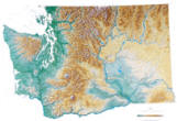 |
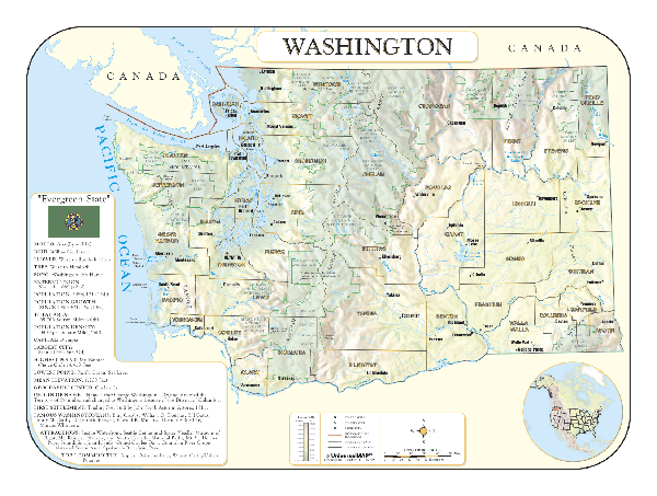
Raven Washington Map This
beautiful northwest state extends from Puget Sound and the
Olympic Mountains through the Cascades down to the Columbia
Plateau and the fertile Palouse country in the southeast.
Elevations are represented by color, and this, in combination
with our relief shading technique, gives the map a 3-dimensional
look.
Raven Washington Map Dimensions:
40" x 54" (approx.)
Raven Washington Map Scale: 1:500,000 or 1" equals about 8
miles. |
|
 |
WASHINGTON SHADED RELIEF MAP
The Washington Shaded Relief Wall Map by Universal Map is a full-color, topographical wall map. Statistical information on this map includes historical, anecdotal, and geographical. There is also an elevation scale measured in meters and feet and a distance scale measured in miles and kilometers. Identifies county boundaries. Shows state flag. Lists state motto, bird, flower, and tree, plus total area, population and origin of name. Its heavy laminated surface can be used with waterbased pens.
48" x 36" |
Click Price to Add to Cart | | Laminated |
$31.95 |
|
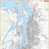 |
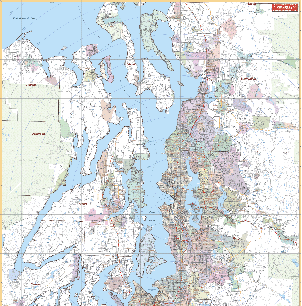
SEATTLE/VICINITY WALL MAP
2005 1st edition The Seattle, Tacoma, and Everett, WA Vicinity Wall Map measuring 54” x 64,” and includes portions of 8 counties. Boundaries: North: 55 miles north to Sheboygan and Fond du Lac; South: 40 miles south to the state line; East: to Lake Michigan; West: 100 miles west to the city of Madison and all of Dane County. Printed in color with a laminated, markable and washable finish.
Framing rails are available on top and bottom. Excellent source for routing or planning. | |
'
|