|
 DOQQ
/ DOQ DOQQ
/ DOQ
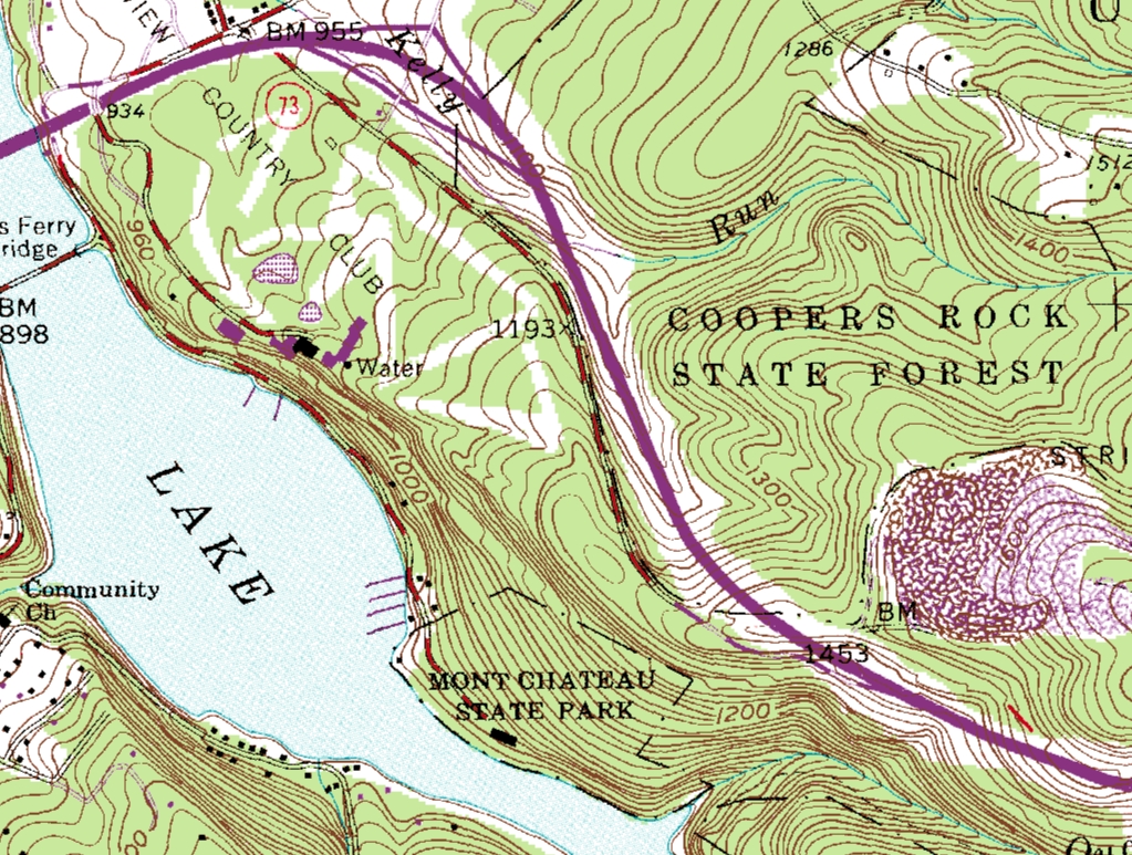
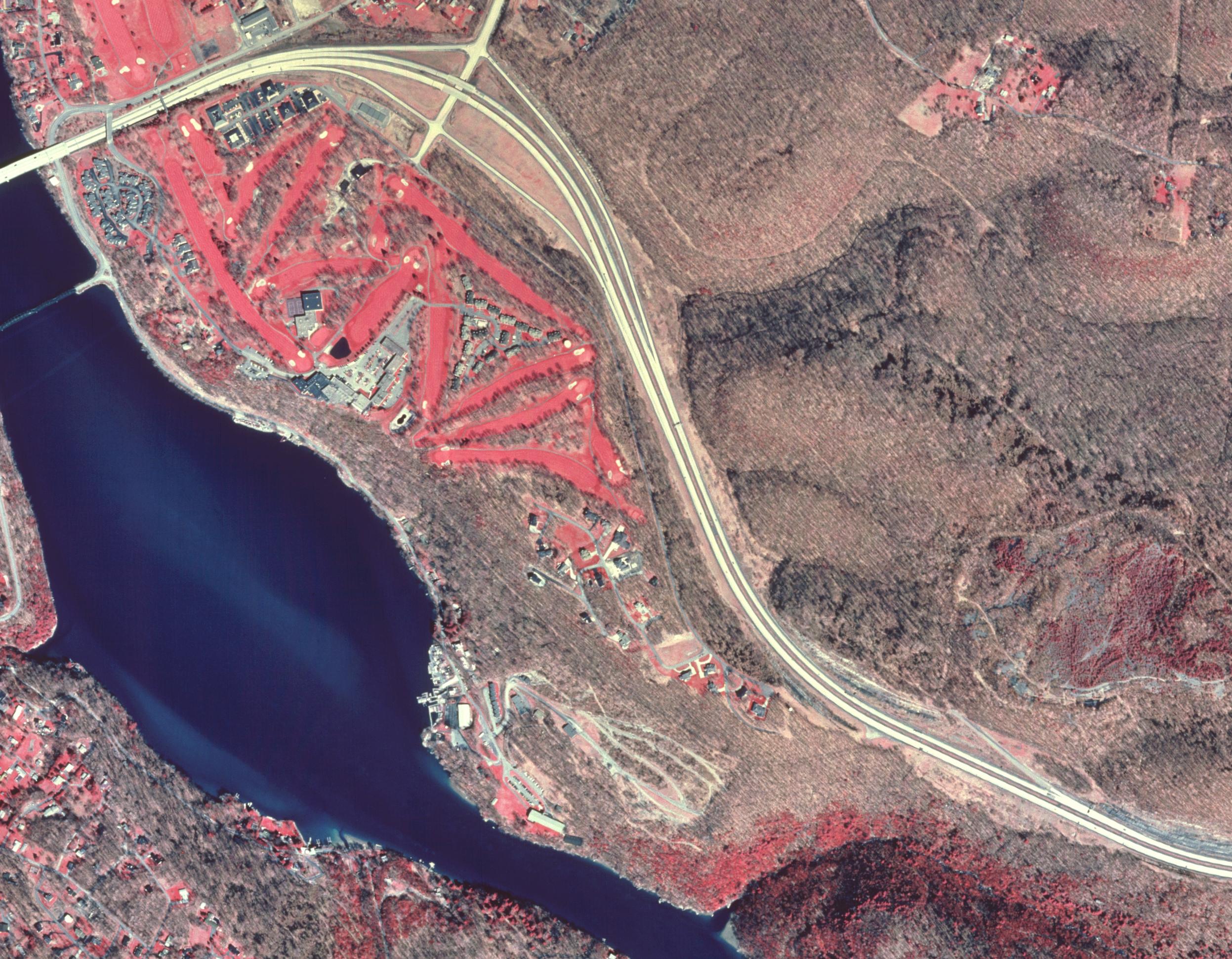
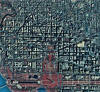
A Digital Orthophoto Quadrangle (DOQ) is a computer-generated
image of an aerial photograph in which the image displacement
caused by terrain relief and camera tilt has been removed. The
DOQ combines the image characteristics of the original
photograph with the georeferenced qualities of a map.
DOQs are black and white (B/W), natural color, or color-infrared
(CIR) images with 1-meter ground resolution.
More information, pricing and ordering information |
|
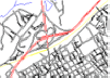
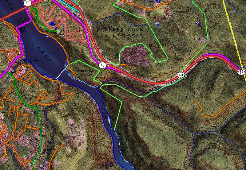
 VECTOR
GRAPHICS VECTOR
GRAPHICS
Vector Graphic are CAD/GIS drawings where each road,
stream, and contour line are individual entities. This is
completely different from DRGs which are simply paper maps that
have been run through a scanner and geo-referenced.
The entities on our Vector maps are on many different layers,
according to their type. For example, major roads are on a
different layer than minor roads or streams. Additionally,
contour lines are 3D polylines. This makes for a very easily
manipulated CAD or GIS drawing.
The difference between Vector maps and Raster maps is analogous
to the difference between a word processing document and a
scanned document. The word processing document is a whole lot
easier to change, move words around, add new paragraphs, or run
a spelling checker than a scanned document. Likewise, it is much
easier to modify, move, add new entities, or analyze a vector
CAD drawing than the corresponding scanned map.
More information, pricing and online ordering |