|
National Geographic
Software packages! |
|
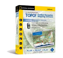 |
TOPO! State Series
Seamless statewide topographic map coverage. CD's available
for each state. Add your own routes, symbols, notes web
links and photos. Create elevation profiles.
Upload/Download GPS waypoints.
Windows and Mac Compatible
More Information & Purchase Online |
|
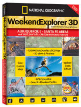
Weekend Explorer 3D
The perfect outdoor recreation software for your
next weekend excursion. Weekend Explorer 3D has all the features of
our TOPO! software, with 21 titles focused on the recreation areas
surrounding major metropolitan centers. It’s also an ideal companion
to your local guidebook.
More Information & Purchase Online |
 |
|
|
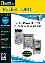 |
Pocket Topo!
Take TOPO! With You Wherever You Go
Pocket TOPO! is an extension of the TOPO! State Series software
that enables you to export maps to your PDA and to take
advantage of all the TOPO! features when you are away from your
computer. Add notes, symbols and routes to Pocket TOPO! and they
will transfer to your PC the next time you synchronize. (Note:
Pocket TOPO! is specifically designed for use with a TOPO! State
Series product and is compatible with PC version only).
More Information & Purchase Online |
|
|
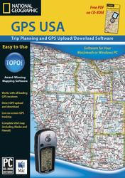
GPS USA
The software of choice for those who want an easy-to-use GPS
waypoint manager and trip planning tool without all of the
detailed maps included in the TOPO! State Series and Back Roads
Explorer software. GPS USA includes three levels of overview
atlas-level maps for the entire U.S.
More Information & Purchase Online |
 |
|
|
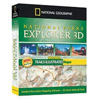 |
National Parks
Explorer 3D
Interactive map coverage of
US national parks. Each set features Trail Illustrated
topographic maps.
Add your own routes and
symbols, create elevation profiles, upload/download GPS data and
more.
More Information & Purchase Online |
|
|
Back Roads Explorer
Take the road less traveled, with nationwide, customizable
topographic maps and up-to-date roads and highways. Seamless
coverage of the entire US with 1:100,000 scale topographic maps
and up to date road data.
Now Mac and PC Compatible
More Information & Purchase Online |
 |
|
|
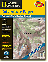 |
Adventure Paper
Waterproof. tear-resistant printing material. Perfect for
printing custom maps created with TOPO! software.
More Information & Purchase Online |
|


