 |
 |
 |
|
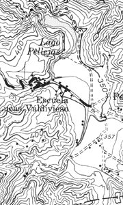
1:20,000-scale map |
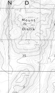
1:63,360-scale map |
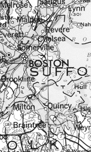
1:500,000-scale map |
The proportion chosen for a particular map is its scale. Selecting
the appropriate scale depends on the size of the sheet of paper and
the accurate placement of features. Ground area, rivers, lakes, roads,
distances between features, and so on must be shown proportionately
smaller than they really are.
| Top |
Large Is Small
Simply defined, scale is the relationship between distance on the
map and distance on the ground. A map scale usually is given as a
fraction or a ratio—1/10,000 or 1:10,000.
These "representative fraction" scales mean that 1 unit of
measurement on the map—1 inch or 1 centimeter—represents 10,000 of the
same units on the ground. If the scale were 1:63,360, for instance,
then 1 inch on the map would represent 63,360 inches, or 1 mile, on
the ground (63,360 inches divided by 12 inches equals 5,280 feet, or 1
mile). The first number (map distance) is always 1. The second number
(ground distance) is different for each scale; the larger the second
number is, the smaller the scale of the map. "The larger the number,
the smaller the scale" sounds confusing, but it is easy to understand.
A map of an area 100 miles long by 100 miles wide drawn at a scale of
1:63,360 would be more than 8 feet square. To make the map a more
convenient size, either the scale used or the area covered must be
reduced.
If the scale is reduced to 1:316,800, then 1 inch on the map
represents 5 miles on the ground, and an area 100 miles square can be
mapped on a sheet less than 2 feet square (100 miles at 5 miles to the
inch equals 20 inches, or 1.66 feet). On the other hand, if the
original 1:63,360 scale is used but the mapped area is reduced to 20
miles square, the resulting map will also be less than 2 feet square.
Such maps would be easier to handle. But would they be more useful?
In the small-scale map (1:316,800), there is less room; therefore,
everything must be drawn smaller, and some small streams, roads, and
landmarks must be left out altogether. On the other hand, the larger
scale map (1:63,360) permits more detail but covers much less ground.
Many areas have been mapped at different scales. The most important
consideration in choosing a map is its intended use. A town engineer,
for instance, may need a very detailed map to locate precise sewers,
power and water lines, and streets. A commonly used scale for this
purpose is 1:600 (1 inch on the map represents 50 feet on the ground).
This scale is so large that many features—such as buildings, roads,
and railroad tracks—can be drawn to scale instead of being represented
by symbols.
| Top |
U.S. Geological Survey Scales
The U.S. Geological Survey (USGS) publishes maps at various scales.
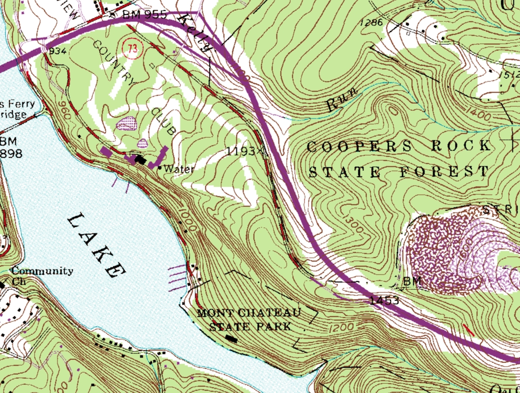
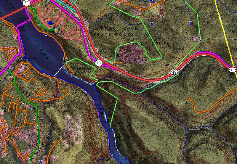
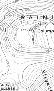
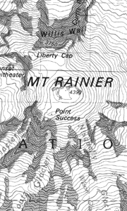
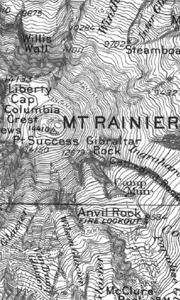
The scale used for most U.S. topographic mapping is 1:24,000. USGS
maps at this scale cover an area measuring 7.5 minutes of latitude and
7.5 minutes of longitude and are commonly called 7.5-minute quadrangle
maps. Map coverage for most of the United States has been completed at
this scale, except for Puerto Rico, which is mapped at 1:20,000 and
1:30,000, and for a few States that have been mapped at 1:25,000. Most
of Alaska has been mapped at 1:63,360, with some populated areas also
mapped at 1:24,000 and 1:25,000.
Maps at 1:24,000 scale are fairly large and provide detailed
information about the features of an area, including the locations of
important buildings and most campgrounds, ski lifts, and water mills.
Footbridges, drawbridges, fence lines, and private roads are also
shown at this scale. Usually these features are omitted from maps in
the 1:50,000- to 1:100,000-scale range; these maps cover more area
while retaining a reasonable level of detail. Maps at these scales are
most often produced using the 30- by 60-minute quadrangle formats.
Small-scale maps (1:250,000 and smaller) show large areas on single
map sheets, but details are limited to major features, such as
boundaries, parks, airports, major roads, railroads, and streams.
| Top |
Information
The table below shows information about USGS maps available from
GeoMart
. For information on these and other
products and services, call 1-800-248-Maps.